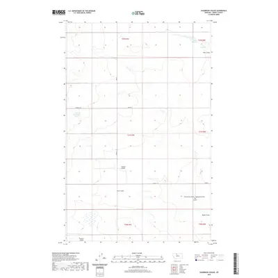
2020 Map of Sagebrush Coulee
USGS Topo · Published 2020About this map
The northern plains of Liberty County are defined by a series of dramatic drainages that cut through the high prairie south of the Canadian border. These topographical features, often bearing the names of early settler families, include Stewart Coulee, Arnst Coulee, and the eponymous Sagebrush Coulee. The presence of Walden Reservoir and Potts Reservoir in the northeast corner, along with Browns Reservoir to the west, reflects the vital role of water management in this arid agricultural landscape. A precise grid of section lines and gravel roads, such as Kammzell Rd and Tiber Rd, provides the primary structure for movement across this sparsely populated region, where large-scale ranching and dryland farming predominate.
Find a feature on this map
21 named features on this map. Tap any name to fly to it.
Don’t see what you’re looking for? This feature index may not catch every label — zoom into the map to look around manually.
Map Details
Editions of this 2020 Sagebrush Coulee Map
This is the sole edition of this map. No revisions or reprints were ever made.
Other maps of this area

1919 · Alma
USGS Topo · 1:125,000

1954 · Shelby
USGS Topo · 1:250,000

1958 · Shelby
USGS Topo · 1:250,000

1962 · Tiber
USGS Topo · 1:24,000

1962 · North Lothair School
USGS Topo · 1:24,000

1963 · Chester
USGS Topo · 1:24,000

1970 · Circle Bridge
USGS Topo · 1:24,000

1970 · Sagebrush Coulee
USGS Topo · 1:24,000

1970 · Poverty Coulee
USGS Topo · 1:24,000

1970 · Lothair SW
USGS Topo · 1:24,000