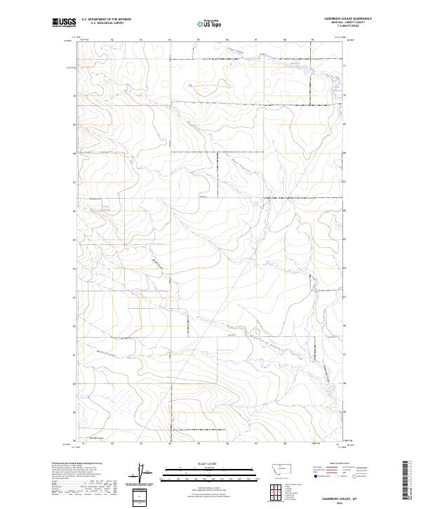
2024 Map of Sagebrush Coulee
USGS Topo · Published 2024About this map
The drainage basins and ephemeral waterways of Liberty County define this high plains landscape. Several prominent coulees, including Sagebrush Coulee and Twelvemile Coulee, carve through the terrain, illustrating the complex erosional patterns that characterize the region. The map reveals a land managed for water, with human-made catchments like Walden Reservoir, Potts Reservoir, and Browns Reservoir positioned to capture seasonal runoff. These water features are essential for the agricultural and ranching operations that have shaped the local economy and land use since early settlement.
Find a feature on this map
21 named features on this map. Tap any name to fly to it.
Don’t see what you’re looking for? This feature index may not catch every label — zoom into the map to look around manually.
Map Details
Editions of this 2024 Sagebrush Coulee Map
This is the sole edition of this map. No revisions or reprints were ever made.
Other maps of this area

1919 · Alma
USGS Topo · 1:125,000

1954 · Shelby
USGS Topo · 1:250,000

1958 · Shelby
USGS Topo · 1:250,000

1962 · Tiber
USGS Topo · 1:24,000

1962 · North Lothair School
USGS Topo · 1:24,000

1963 · Chester
USGS Topo · 1:24,000

1970 · Circle Bridge
USGS Topo · 1:24,000

1970 · Sagebrush Coulee
USGS Topo · 1:24,000

1970 · Poverty Coulee
USGS Topo · 1:24,000

1970 · Lothair SW
USGS Topo · 1:24,000