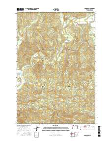
2017 Map of Sager Creek
USGS Topo · Published 2017About this map
Jewell sits at a critical junction in Clatsop County where the Nehalem River meanders through the broad Nehalem Valley. This landscape is defined by its complex network of timber and access roads, many named for the waterways and ridges they follow, such as Buster Creek Mainline and Sager Creek Ridge Rd. The terrain rises sharply toward the south at Green Mtn, where Green Mountain Lookout Rd suggests a vantage point over the surrounding timberlands.
Find a feature on this map
52 named features on this map. Tap any name to fly to it.
Don’t see what you’re looking for? This feature index may not catch every label — zoom into the map to look around manually.
Map Details
Editions of this 2017 Sager Creek Map
This is the sole edition of this map. No revisions or reprints were ever made.
Other maps of this area

1939 · Saddle Mountain
USGS Topo · 1:62,500

1940 · Svensen
USGS Topo · 1:62,500

1941 · Keasey
USGS Topo · 1:62,500

1941 · Cathlamet
USGS Topo · 1:62,500

1943 · Keasey
USGS Topo · 1:62,500

1943 · Saddle Mtn.
USGS Topo · 1:62,500

1948 · Vancouver
USGS Topo · 1:250,000

1950 · Vancouver
USGS Topo · 1:250,000

1950 · Vancouver
USGS Topo · 1:250,000

1953 · Hoquiam
USGS Topo · 1:250,000