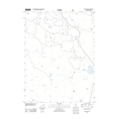
2012 Map of Said Valley
USGS Topo · Published 2012About this map
Hayden Hill stands in the northwestern corner of this high-elevation landscape, where a dense network of forest service roads and water management features define the local geography. The area is characterized by a high concentration of water resources, including numerous springs and reservoirs like Wing Reservoir, Ambrose Reservoir, and Spring Hill Reservoir. This complex hydrological system suggests a legacy of livestock grazing and land management, supported by named camps such as Totten Camp, Johnson Camp, and Hencratt Camp which are scattered across the terrain.
Find a feature on this map
65 named features on this map. Tap any name to fly to it.
Don’t see what you’re looking for? This feature index may not catch every label — zoom into the map to look around manually.
Map Details
Editions of this 2012 Said Valley Map
This is the sole edition of this map. No revisions or reprints were ever made.
Other maps of this area

1886 · Alturas
USGS Topo · 1:250,000

1886 · Honey Lake
USGS Topo · 1:250,000

1891 · Honey Lake
USGS Topo · 1:250,000

1892 · Alturas
USGS Topo · 1:250,000

1893 · Honey Lake
USGS Topo · 1:250,000

1954 · Grasshopper Valley
USGS Topo · 1:62,500

1954 · Alturas
USGS Topo · 1:250,000

1955 · Westwood
USGS Topo · 1:250,000

1956 · Hayden Hill
USGS Topo · 1:62,500

1958 · Alturas
USGS Topo · 1:250,000