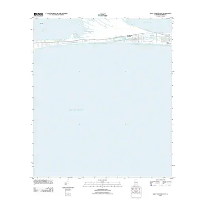
2011 Map of Saint Andrews Bay
USGS Topo · Published 2011About this map
The narrow Fort Morgan Peninsula separates the expanse of Gulf of Mexico from the northern waters of Mobile Bay and Bon Secour Bay. This coastal landscape is defined by its thin geography, stretching toward the western point of the Spit near Hog Bayou. Development is concentrated along the southern shore, where the residential community of Gulf Highlands and the Kiva Dunes Golf Course are reached by a network of residential roads including Beach Blvd and Plantation Rd. The map illustrates a late-century transition toward vacation and resort development, evident in named paths like Beach Club Trl and the grid of lettered avenues. This area represents the fragile intersection of shifting sandbars and permanent human settlement on the Alabama coast.
Find a feature on this map
21 named features on this map. Tap any name to fly to it.
Don’t see what you’re looking for? This feature index may not catch every label — zoom into the map to look around manually.
Map Details
Editions of this 2011 Saint Andrews Bay Map
This is the sole edition of this map. No revisions or reprints were ever made.
Other maps of this area

1921 · Point Clear
USGS Topo · 1:62,500

1921 · Dauphin Island
USGS Topo · 1:62,500

1921 · Delchamps
USGS Topo · 1:62,500

1941 · Cedar Point
USGS Topo · 1:62,500

1941 · Weeks Bay
USGS Topo · 1:62,500

1942 · Fort Morgan
USGS Topo · 1:62,500

1943 · Cedar Point
USGS Topo · 1:62,500

1943 · Weeks Bay
USGS Topo · 1:62,500

1953 · Mobile
USGS Topo · 1:250,000

1957 · Mobile
USGS Topo · 1:250,000