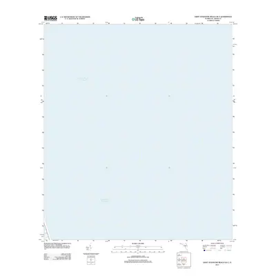
2012 Map of Saint Augustine Beach OE E
USGS Topo · Published 2012About this map
The vast expanse of the Atlantic Ocean dominates this offshore survey of the Florida coast. Situated just east of the shoreline near St. Johns County, this map captures the marine environment as documented by the U.S. Geological Survey in the early 21st century. The map serves as a specific hydrographic reference for the waters off the Florida coast, illustrating the maritime character of the region. While the landmass of the coast itself lies to the west, this sheet provides essential context for the coastal waters and nautical approaches used by local mariners and researchers of the Florida eastern seaboard.
Find a feature on this map
1 named feature on this map. Tap any name to fly to it.
Don’t see what you’re looking for? This feature index may not catch every label — zoom into the map to look around manually.
Map Details
Editions of this 2012 Saint Augustine Beach OE E Map
This is the sole edition of this map. No revisions or reprints were ever made.
Other maps of this area

1927 · Matanzas
USGS Topo · 1:48,000

1937 · Crescent Beach
USGS Topo · 1:24,000

1937 · Dinner Island
USGS Topo · 1:48,000

1937 · St. Augustine
USGS Topo · 1:24,000

1943 · St. Augustine
USGS Topo · 1:62,500

1943 · Dinner Island
USGS Topo · 1:62,500

1943 · Matanzas
USGS Topo · 1:62,500

1944 · Dinner Island
USGS Topo · 1:62,500

1944 · Matanzas
USGS Topo · 1:62,500

1954 · Daytona Beach
USGS Topo · 1:250,000