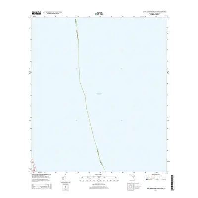
2015 Map of Saint Augustine Beach OE E
USGS Topo · Published 2015About this map
The Atlantic Ocean dominates this offshore survey, mapping the maritime approaches to the Florida coast in Saint Johns County. While the majority of the area is open water, the sheet captures a critical thin ribbon of the coastline at its southwestern corner. This narrow land section includes a segment of the historic SR-a1a highway and the protected channel of the Intracoastal Waterway. This cartographic perspective emphasizes the coastal transition between the high seas and the inland navigational routes, providing a clear record of the marine boundaries and the essential transportation infrastructure that skirts the Atlantic shore during this period.
Find a feature on this map
6 named features on this map. Tap any name to fly to it.
Don’t see what you’re looking for? This feature index may not catch every label — zoom into the map to look around manually.
Map Details
Editions of this 2015 Saint Augustine Beach OE E Map
This is the sole edition of this map. No revisions or reprints were ever made.
Other maps of this area

1927 · Matanzas
USGS Topo · 1:48,000

1937 · Crescent Beach
USGS Topo · 1:24,000

1937 · Dinner Island
USGS Topo · 1:48,000

1937 · St. Augustine
USGS Topo · 1:24,000

1943 · St. Augustine
USGS Topo · 1:62,500

1943 · Dinner Island
USGS Topo · 1:62,500

1943 · Matanzas
USGS Topo · 1:62,500

1944 · Dinner Island
USGS Topo · 1:62,500

1944 · Matanzas
USGS Topo · 1:62,500

1954 · Daytona Beach
USGS Topo · 1:250,000