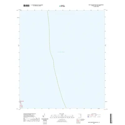
2021 Map of Saint Augustine Beach OE E
USGS Topo · Published 2021About this map
The Atlantic Ocean dominates this maritime expanse off the Florida coast, where the vast majority of the sheet is comprised of open waters. A narrow sliver of land in the southwestern corner reveals the presence of A1A Beach Blvd, a vital artery for coastal travel in Saint Johns County. Just inland of the primary coastline, the Intracoastal Waterway serves as a protected navigational route, indicating the area's importance for local boating and maritime transit. This map captures the coastal interface at a time when development is concentrated along the immediate shoreline, leaving the majority of the quadrangle as an aquatic study of the nearshore Atlantic.
Find a feature on this map
5 named features on this map. Tap any name to fly to it.
Don’t see what you’re looking for? This feature index may not catch every label — zoom into the map to look around manually.
Map Details
Editions of this 2021 Saint Augustine Beach OE E Map
This is the sole edition of this map. No revisions or reprints were ever made.
Other maps of this area

1927 · Matanzas
USGS Topo · 1:48,000

1937 · Crescent Beach
USGS Topo · 1:24,000

1937 · Dinner Island
USGS Topo · 1:48,000

1937 · St. Augustine
USGS Topo · 1:24,000

1943 · St. Augustine
USGS Topo · 1:62,500

1943 · Dinner Island
USGS Topo · 1:62,500

1943 · Matanzas
USGS Topo · 1:62,500

1944 · Dinner Island
USGS Topo · 1:62,500

1944 · Matanzas
USGS Topo · 1:62,500

1954 · Daytona Beach
USGS Topo · 1:250,000