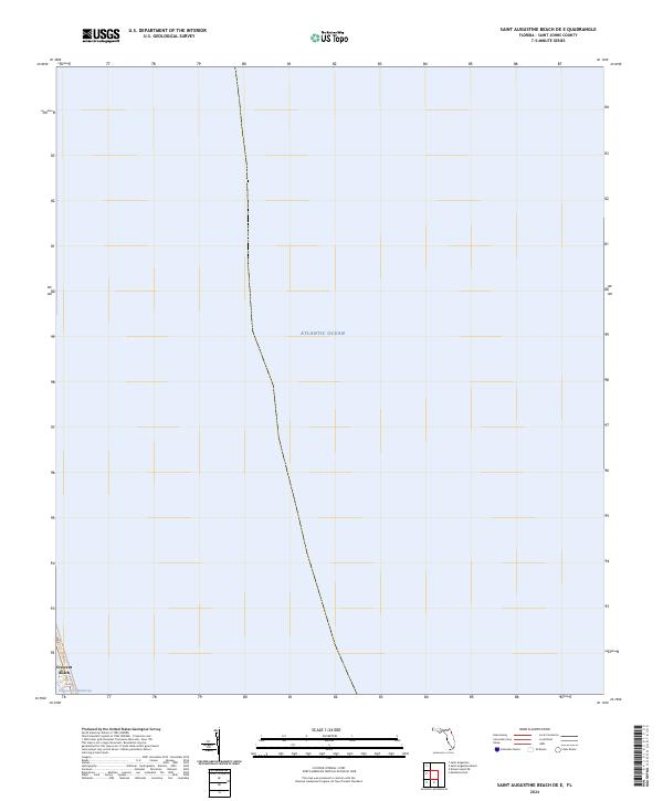
2024 Map of Saint Augustine Beach OE E
USGS Topo · Published 2024About this map
The vast Atlantic Ocean dominates this offshore survey, capturing the coastal margin of St. Johns County where the Atlantic meets the Florida shoreline. Only a small sliver of land is visible in the southwestern corner, anchored by the community of Crescent Beach. This coastal strip is defined by its narrow geography, squeezed between the open ocean and the Intracoastal Waterway. The map provides a precise contemporary look at the shoreline position and the relationship between the residential coastal development and the major navigational artery of the waterway. Land divisions are noted through township and range markers, including t8s r30e and t9s r30e, illustrating the formal surveying grid that underlies this seaside landscape.
Find a feature on this map
5 named features on this map. Tap any name to fly to it.
Don’t see what you’re looking for? This feature index may not catch every label — zoom into the map to look around manually.
Map Details
Editions of this 2024 Saint Augustine Beach OE E Map
This is the sole edition of this map. No revisions or reprints were ever made.
Other maps of this area

1927 · Matanzas
USGS Topo · 1:48,000

1937 · Crescent Beach
USGS Topo · 1:24,000

1937 · Dinner Island
USGS Topo · 1:48,000

1937 · St. Augustine
USGS Topo · 1:24,000

1943 · St. Augustine
USGS Topo · 1:62,500

1943 · Dinner Island
USGS Topo · 1:62,500

1943 · Matanzas
USGS Topo · 1:62,500

1944 · Dinner Island
USGS Topo · 1:62,500

1944 · Matanzas
USGS Topo · 1:62,500

1954 · Daytona Beach
USGS Topo · 1:250,000