
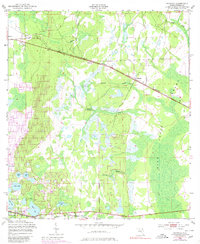
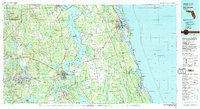
1981 Map of Saint Augustine
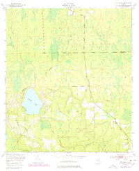
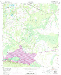
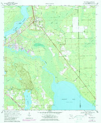
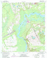
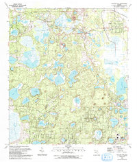
USGS Topo · Published 1982This historical map portrays the area of Saint Augustine in 1981, primarily covering Putnam County as well as portions of Marion County, St. Johns County, Clay County, and Flagler County. Featuring a scale of 1:100000, this map provides a highly detailed snapshot of the terrain, roads, buildings, counties, and historical landmarks in the Saint Augustine region at the time. Published in 1982, it is one of 2 known editions of this map due to revisions or reprints.
Find a feature on this map
109 named features on this map. Tap any name to fly to it.
Don’t see what you’re looking for? This feature index may not catch every label — zoom into the map to look around manually.
Map Details
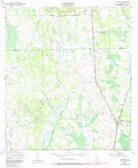
Editions of this 1981 Saint Augustine Map
2 editions found
Historical Maps of Crescent Beach Through Time
15 maps found
1949 Baywood
Putnam County, FL
1949 Bostwick
Putnam County, FL
1949 Keuka
Putnam County, FL
1949 Putnam Hall
Putnam County, FL
1949 Rice Creek
Putnam County, FL
1949 Rodman
Putnam County, FL
1968 San Mateo
Putnam County, FL
1968 Satsuma
Putnam County, FL
1981 Saint Augustine
Putnam County, FL
1991 Bostwick
Putnam County, FL
1993 Baywood
Putnam County, FL
1993 Keuka
Putnam County, FL
1993 Putnam Hall
Putnam County, FL
1993 Rice Creek
Putnam County, FL
1993 Rodman
Putnam County, FL