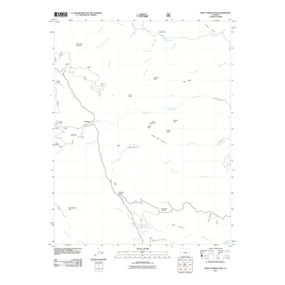
2011 Map of Saint Charles Peak
USGS Topo · Published 2011About this map
Fairview and Lion Park sit within a high-elevation landscape defined by the drainage systems of the Saint Charles River and North Creek. This 2011 survey reveals a region managed for recreation and watershed protection, featuring the San Isabel Ski Area and several public use sites like the Ophir Creek Campground and Davenport Picnic Area. The terrain transitions from prominent summits such as Saint Charles Peak and Potato Mountain into deep incisions like Dome Rock Canyon and Middlecreek Canyon.
Find a feature on this map
46 named features on this map. Tap any name to fly to it.
Don’t see what you’re looking for? This feature index may not catch every label — zoom into the map to look around manually.
Map Details
Editions of this 2011 Saint Charles Peak Map
This is the sole edition of this map. No revisions or reprints were ever made.
Other maps of this area

1889 · Canon City
USGS Topo · 1:125,000

1889 · Huerfano Park
USGS Topo · 1:125,000

1891 · Walsenburg
USGS Topo · 1:125,000

1891 · Pueblo
USGS Topo · 1:125,000

1892 · Huerfano Park
USGS Topo · 1:125,000

1892 · Canon City
USGS Topo · 1:125,000

1894 · Walsenburg
USGS Topo · 1:125,000

1894 · Pueblo
USGS Topo · 1:125,000

1896 · Pueblo
USGS Topo · 1:125,000

1897 · Pueblo
USGS Topo · 1:125,000