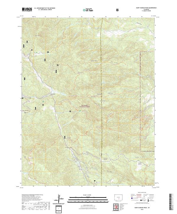
2022 Map of Saint Charles Peak
USGS Topo · Published 2022About this map
San Isabel National Forest dominates this high-altitude landscape where the borders of Custer and Pueblo counties meet. The terrain is defined by a series of high ridges and summits including Saint Charles Peak, Round Top Mtn, and Potato Mtn, which overlook a network of meadows and seasonal parks. The small settlement of Fairview sits in the northwest corner, serving as a gateway to the complex system of trails and forestry roads that thread through the canyons.
Find a feature on this map
71 named features on this map. Tap any name to fly to it.
Don’t see what you’re looking for? This feature index may not catch every label — zoom into the map to look around manually.
Map Details
Editions of this 2022 Saint Charles Peak Map
This is the sole edition of this map. No revisions or reprints were ever made.
Other maps of this area

1889 · Canon City
USGS Topo · 1:125,000

1889 · Huerfano Park
USGS Topo · 1:125,000

1891 · Walsenburg
USGS Topo · 1:125,000

1891 · Pueblo
USGS Topo · 1:125,000

1892 · Huerfano Park
USGS Topo · 1:125,000

1892 · Canon City
USGS Topo · 1:125,000

1894 · Walsenburg
USGS Topo · 1:125,000

1894 · Pueblo
USGS Topo · 1:125,000

1896 · Pueblo
USGS Topo · 1:125,000

1897 · Pueblo
USGS Topo · 1:125,000