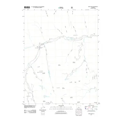
2011 Map of Saint Elmo
USGS Topo · Published 2011About this map
Saint Elmo sits at the convergence of several high-elevation gulches, serving as the central point for an extensive network of mining operations that define this portion of the Sawatch Range. The drainage patterns of Chalk Creek and its North Fork are flanked by numerous historic claims, including the prominent Mary Murphy Mine and the Iron Chest Mine. This 2011 survey captures the complex alpine topography where ridges like Chrysolite Mountain and Grizzly Mountain separate high-altitude basins such as Grizzly Lake and Pomeroy Lake. The concentration of mining sites like the Stonewall Shaft Mine and Pride of the West Mine suggests a landscape shaped by long-term mineral extraction, with access facilitated by Chalk Creek Drive and Co RD 295.
Find a feature on this map
51 named features on this map. Tap any name to fly to it.
Don’t see what you’re looking for? This feature index may not catch every label — zoom into the map to look around manually.
Map Details
Editions of this 2011 Saint Elmo Map
This is the sole edition of this map. No revisions or reprints were ever made.
Other maps of this area

1940 · Garfield
USGS Topo · 1:62,500

1945 · Garfield
USGS Topo · 1:62,500

1955 · Buena Vista
USGS Topo · 1:62,500

1955 · Mount Harvard
USGS Topo · 1:62,500

1956 · Poncha Springs
USGS Topo · 1:62,500

1956 · Montrose
USGS Topo · 1:250,000

1959 · Montrose
USGS Topo · 1:250,000

1960 · Montrose
USGS Topo · 1:250,000

1968 · Montrose
USGS Topo · 1:250,000

1982 · Buena Vista West
USGS Topo · 1:24,000