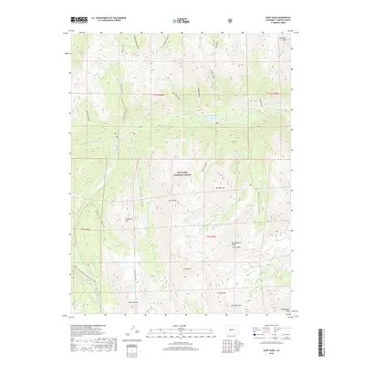
2019 Map of Saint Elmo
USGS Topo · Published 2019About this map
San Isabel National Forest dominates this high-altitude landscape in Chaffee County, where massive summits and deep glacial basins define the topography. The peaks here are among Colorado's most significant, including the southern reaches of the Collegiate Peaks, Tabeguache Peak, and Grizzly Mtn. This map captures a region primarily shaped by alpine hydrology and steep drainage systems, characterized by high-elevation water bodies such as Alpine Lake, Baldwin Lake, and the Pomeroy Lakes cluster, which includes Upper Pomeroy Lake.
Find a feature on this map
40 named features on this map. Tap any name to fly to it.
Don’t see what you’re looking for? This feature index may not catch every label — zoom into the map to look around manually.
Map Details
Editions of this 2019 Saint Elmo Map
This is the sole edition of this map. No revisions or reprints were ever made.
Other maps of this area

1940 · Garfield
USGS Topo · 1:62,500

1945 · Garfield
USGS Topo · 1:62,500

1955 · Buena Vista
USGS Topo · 1:62,500

1955 · Mount Harvard
USGS Topo · 1:62,500

1956 · Poncha Springs
USGS Topo · 1:62,500

1956 · Montrose
USGS Topo · 1:250,000

1959 · Montrose
USGS Topo · 1:250,000

1960 · Montrose
USGS Topo · 1:250,000

1968 · Montrose
USGS Topo · 1:250,000

1982 · Buena Vista West
USGS Topo · 1:24,000