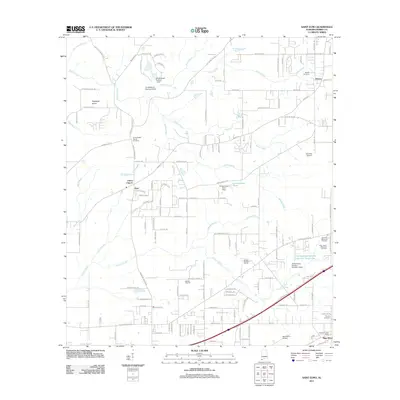
2011 Map of Saint Elmo
USGS Topo · Published 2011About this map
Saint Elmo serves as a primary southern anchor for this portion of Mobile County, where the Saint Elmo Post Office and Saint Elmo Airport signify its role as a local crossroads. The landscape is defined by the headwaters and branches of numerous coastal plain waterways, including Miller Creek, Baker Creek, and Jackson Creek, which drain the low-lying terrain south of Dees. These water resources were historically harnessed for agriculture and nursery operations, as seen at Flowerwood Nursery Number Three Lake.
Find a feature on this map
143 named features on this map. Tap any name to fly to it.
Don’t see what you’re looking for? This feature index may not catch every label — zoom into the map to look around manually.
Map Details
Editions of this 2011 Saint Elmo Map
This is the sole edition of this map. No revisions or reprints were ever made.
Other maps of this area

1921 · Grand Bay
USGS Topo · 1:62,500

1921 · Delchamps
USGS Topo · 1:62,500

1922 · Mobile
USGS Topo · 1:62,500

1940 · Mobile
USGS Topo · 1:62,500

1941 · Cedar Point
USGS Topo · 1:62,500

1941 · Hurley
USGS Topo · 1:62,500

1942 · Theodore
USGS Topo · 1:31,680

1943 · Cedar Point
USGS Topo · 1:62,500

1943 · Theodore
USGS Topo · 1:31,680

1943 · Grand Bay
USGS Topo · 1:62,500