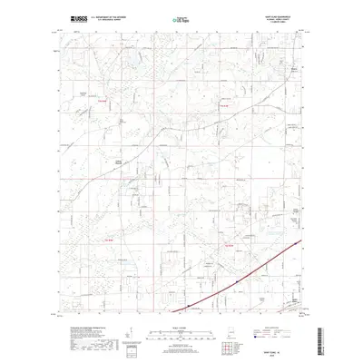
2018 Map of Saint Elmo
USGS Topo · Published 2018About this map
Union Church and the railroad corridor of Saint Elmo anchor this 2018 survey of southwestern Mobile County. The landscape is defined by the branching tributaries of the Jackson Cr and Turkey Cr systems, which drain through a mosaic of agricultural parcels and growing residential developments. This era shows a community deeply rooted in its local institutions, evidenced by the numerous cemeteries and burial grounds that serve as focal points for genealogy, including Union Baptist Church Cem, Dawes Cem, and the expansive Serenity Memorial Gardens. A distinct mix of traditional land use and modern industry is visible, from the waters of Constantines Pond to the specialized operations at Flowerwood Nursery Number Three Lake. The map details the transition of the Gulf Coast hinterland, where named features like Copeland Island sit among a dense network of county roads like Co Rd 33 and Co Rd 11.
Find a feature on this map
134 named features on this map. Tap any name to fly to it.
Don’t see what you’re looking for? This feature index may not catch every label — zoom into the map to look around manually.
Map Details
Editions of this 2018 Saint Elmo Map
This is the sole edition of this map. No revisions or reprints were ever made.
Other maps of this area

1921 · Grand Bay
USGS Topo · 1:62,500

1921 · Delchamps
USGS Topo · 1:62,500

1922 · Mobile
USGS Topo · 1:62,500

1940 · Mobile
USGS Topo · 1:62,500

1941 · Cedar Point
USGS Topo · 1:62,500

1941 · Hurley
USGS Topo · 1:62,500

1942 · Theodore
USGS Topo · 1:31,680

1943 · Cedar Point
USGS Topo · 1:62,500

1943 · Theodore
USGS Topo · 1:31,680

1943 · Grand Bay
USGS Topo · 1:62,500