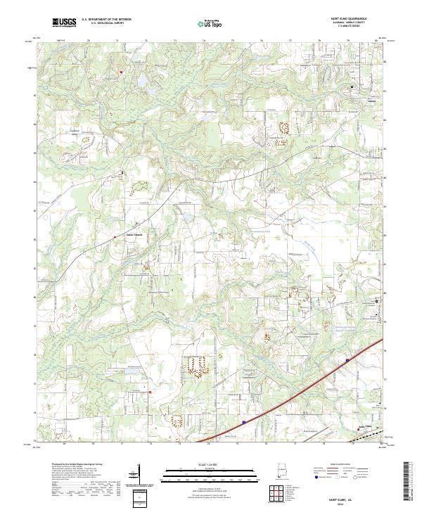
2024 Map of Saint Elmo
USGS Topo · Published 2024About this map
Saint Elmo and the surrounding coastal plain of southern Mobile County are detailed in this contemporary look at the region's transitioning landscape. The settlement of Saint Elmo anchors the southern edge of the map, characterized by its eponymous Saint Elmo Cem and the St Elmo Airport, while the northern reaches show the community of Dawes near Dawes Cem. The area is defined by its intricate drainage network, where Miller Creek, Turkey Creek, and Baker Creek flow through low-lying terrain. Local religious and community centers like the Union Baptist Church and the adjacent Union Baptist Church Cem serve as vital historical touchstones for genealogists tracing family histories in the Union Church area. The presence of several large memorial parks, including Haven Memorial Gardens and Serenity Memorial Gardens, suggests the area's continued role as a significant regional landmark for the surrounding county.
Find a feature on this map
142 named features on this map. Tap any name to fly to it.
Don’t see what you’re looking for? This feature index may not catch every label — zoom into the map to look around manually.
Map Details
Editions of this 2024 Saint Elmo Map
This is the sole edition of this map. No revisions or reprints were ever made.
Other maps of this area

1921 · Grand Bay
USGS Topo · 1:62,500

1921 · Delchamps
USGS Topo · 1:62,500

1922 · Mobile
USGS Topo · 1:62,500

1940 · Mobile
USGS Topo · 1:62,500

1941 · Cedar Point
USGS Topo · 1:62,500

1941 · Hurley
USGS Topo · 1:62,500

1942 · Theodore
USGS Topo · 1:31,680

1943 · Cedar Point
USGS Topo · 1:62,500

1943 · Theodore
USGS Topo · 1:31,680

1943 · Grand Bay
USGS Topo · 1:62,500