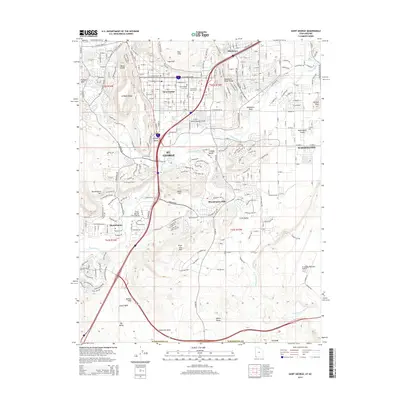
2014 Map of Saint George
USGS Topo · Published 2014About this map
Saint George serves as the focal point of this 2014 survey, illustrating the dense suburban expansion and infrastructure of southwestern Utah. The landscape is defined by the confluence of the Santa Clara River and the Virgin River, which wind through a complex topography of ridges and plateaus such as W Black Ridge and Middleton Black Ridge. The town's historical and institutional core is represented by the Saint George City Cem and the campus of Dixie State Coll of Utah, while the more recent residential growth is evident in neighborhoods like Bloomington Hills and Washington Fields.
Find a feature on this map
49 named features on this map. Tap any name to fly to it.
Don’t see what you’re looking for? This feature index may not catch every label — zoom into the map to look around manually.
Map Details
Editions of this 2014 Saint George Map
This is the sole edition of this map. No revisions or reprints were ever made.
Other maps of this area

1885 · St. George
USGS Topo · 1:250,000

1886 · Mt. Trumbull
USGS Topo · 1:250,000

1891 · St. George
USGS Topo · 1:250,000

1892 · Mt. Trumbull
USGS Topo · 1:250,000

1953 · Cedar City
USGS Topo · 1:250,000

1953 · Grand Canyon
USGS Topo · 1:250,000

1954 · Hurricane Cliffs 2 NW
USGS Topo · 1:24,000

1954 · La Verkin 3 NW
USGS Topo · 1:24,000

1954 · Wolf Hole Mtn. NW
USGS Topo · 1:24,000

1954 · La Verkin 3 SW
USGS Topo · 1:24,000