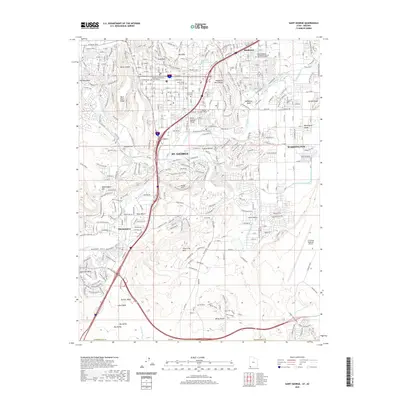
2020 Map of Saint George
USGS Topo · Published 2020About this map
The Virgin River and Santa Clara River converge in this detailed record of the St. George area, where urban development meets striking geological features. The city is framed by prominent landforms such as West Black Ridge, the Red Hills, and Webb Hill, while the Mojave Desert influences the landscape character to the south. Traditional agricultural infrastructure remains visible through the Saint George and Washington Canal and Little Valley Ditch, which continue to navigate the terrain alongside modern landmarks like Dixie State University and the Washington County Court House.
Find a feature on this map
51 named features on this map. Tap any name to fly to it.
Don’t see what you’re looking for? This feature index may not catch every label — zoom into the map to look around manually.
Map Details
Editions of this 2020 Saint George Map
This is the sole edition of this map. No revisions or reprints were ever made.
Other maps of this area

1885 · St. George
USGS Topo · 1:250,000

1886 · Mt. Trumbull
USGS Topo · 1:250,000

1891 · St. George
USGS Topo · 1:250,000

1892 · Mt. Trumbull
USGS Topo · 1:250,000

1953 · Cedar City
USGS Topo · 1:250,000

1953 · Grand Canyon
USGS Topo · 1:250,000

1954 · Hurricane Cliffs 2 NW
USGS Topo · 1:24,000

1954 · La Verkin 3 NW
USGS Topo · 1:24,000

1954 · Wolf Hole Mtn. NW
USGS Topo · 1:24,000

1954 · La Verkin 3 SW
USGS Topo · 1:24,000