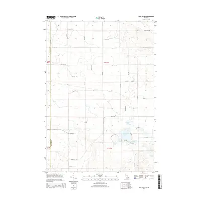
2014 Map of Saint Helen NE
USGS Topo · Published 2014About this map
The county line between Roscommon and Ogemaw counties divides this northern Michigan landscape, characterized by a dense concentration of glacial lakes and an extensive network of back-country trails. In the southeastern portion of the quadrangle, a cluster of named water bodies including Clear Lake, Bear Lake, and Ambrose Lake suggests a region defined by recreational water access and seasonal residence. A small cultural landmark, the Fisk Cem, sits isolated along Turney Ranch Trl, providing a specific point of interest for genealogists and local historians.
Find a feature on this map
39 named features on this map. Tap any name to fly to it.
Don’t see what you’re looking for? This feature index may not catch every label — zoom into the map to look around manually.
Map Details
Editions of this 2014 Saint Helen NE Map
This is the sole edition of this map. No revisions or reprints were ever made.
Other maps of this area

1954 · Traverse City
USGS Topo · 1:250,000

1958 · Traverse City
USGS Topo · 1:250,000

1963 · Luzerne
USGS Topo · 1:24,000

1963 · Eldorado
USGS Topo · 1:24,000

1965 · Damon
USGS Topo · 1:24,000

1965 · St. Helen NW
USGS Topo · 1:24,000

1965 · St. Helen NE
USGS Topo · 1:24,000

1965 · West Branch
USGS Topo · 1:24,000

1965 · St. Helen
USGS Topo · 1:24,000

1965 · Ogemaw Springs
USGS Topo · 1:24,000