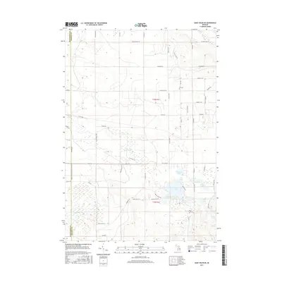
2017 Map of Saint Helen NE
USGS Topo · Published 2017About this map
Fisk Cem stands as a quiet landmark in the northern reaches of Foster Township, where the terrain is defined by a complex network of glacial kettle lakes and marshlands. This landscape is crisscrossed by an extensive system of secondary roads and trails, including the historic Midland to Mackinaw Boy Scout Trail, which traverses the western edge near the boundary of Roscommon and Ogemaw Counties. The southern half of the map reveals a high density of water features, from the larger Clear Lake and Ambrose Lake to the secluded Tamarack Swamp and Townline Lake. The layout of local routes like Ogemaw Shores Dr and Lakeview Blvd reflects the development of seasonal and permanent residences clustered around these many inland waters, while the northern sections remain more open, marked by corridors such as Gilford Ranch Trl and McGregor Rd.
Find a feature on this map
53 named features on this map. Tap any name to fly to it.
Don’t see what you’re looking for? This feature index may not catch every label — zoom into the map to look around manually.
Map Details
Editions of this 2017 Saint Helen NE Map
This is the sole edition of this map. No revisions or reprints were ever made.
Other maps of this area

1954 · Traverse City
USGS Topo · 1:250,000

1958 · Traverse City
USGS Topo · 1:250,000

1963 · Luzerne
USGS Topo · 1:24,000

1963 · Eldorado
USGS Topo · 1:24,000

1965 · Damon
USGS Topo · 1:24,000

1965 · St. Helen NW
USGS Topo · 1:24,000

1965 · St. Helen NE
USGS Topo · 1:24,000

1965 · West Branch
USGS Topo · 1:24,000

1965 · St. Helen
USGS Topo · 1:24,000

1965 · Ogemaw Springs
USGS Topo · 1:24,000