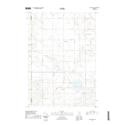
2019 Map of Saint Helen NE
USGS Topo · Published 2019About this map
Fisk Cem sits as a quiet landmark in the northern reaches of Ogemaw County, marking the local lineage of this forested terrain within the t24n r1e and t23n r1e townships. The landscape is defined by a dense network of water bodies and recreational corridors, most notably the historic Midland to Mackinaw Boy Scout Trail which traverses the western edge. A cluster of small lakes including Bear Lake, Clear Lake, and Townline Lake provides a central focal point for the Ogemaw Shores Dr residential development. The map also documents the many named access routes that penetrate the woods, such as Gilford Ranch Trl and Turney Ranch Trl, reflecting the area's transition from traditional ranching and forestry to contemporary recreational use. Smaller hydrographic features like Marsh Cr and Cutting and Damon Lakes illustrate the intricate drainage patterns characteristic of this part of Michigan.
Find a feature on this map
51 named features on this map. Tap any name to fly to it.
Don’t see what you’re looking for? This feature index may not catch every label — zoom into the map to look around manually.
Map Details
Editions of this 2019 Saint Helen NE Map
This is the sole edition of this map. No revisions or reprints were ever made.
Other maps of this area

1954 · Traverse City
USGS Topo · 1:250,000

1958 · Traverse City
USGS Topo · 1:250,000

1963 · Luzerne
USGS Topo · 1:24,000

1963 · Eldorado
USGS Topo · 1:24,000

1965 · Damon
USGS Topo · 1:24,000

1965 · St. Helen NW
USGS Topo · 1:24,000

1965 · St. Helen NE
USGS Topo · 1:24,000

1965 · West Branch
USGS Topo · 1:24,000

1965 · St. Helen
USGS Topo · 1:24,000

1965 · Ogemaw Springs
USGS Topo · 1:24,000