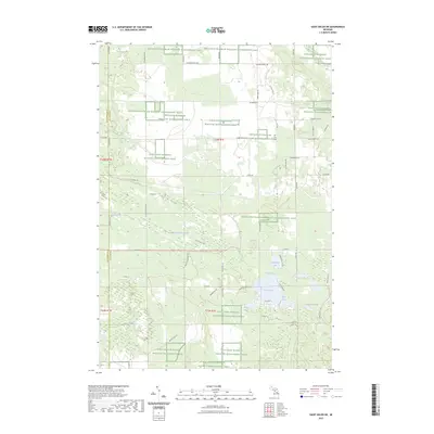
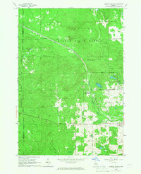
2023 Map of Saint Helen NE
USGS Topo · Published 2023About this map
The Kirtlands Warbler Wildlife Management Area dominates this section of Ogemaw County, signifying a landscape managed for conservation and habitat protection. This network of protected tracts is interspersed with a grid of rural roads and trails, including Odessa Rd, Oyster Rd, and the Cuttin Lake Trl. The area's hydrology is characterized by numerous small lakes and creek systems, with Clear Lake, Bear Lake, and Horseshoe Lake clustered in the southeastern quadrant.
Find a feature on this map
50 named features on this map. Tap any name to fly to it.
Don’t see what you’re looking for? This feature index may not catch every label — zoom into the map to look around manually.
Map Details
Editions of this 2023 Saint Helen NE Map
This is the sole edition of this map. No revisions or reprints were ever made.
Other maps of this area

1954 · Traverse City
USGS Topo · 1:250,000

1958 · Traverse City
USGS Topo · 1:250,000
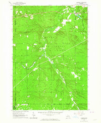
1963 · Luzerne
USGS Topo · 1:24,000
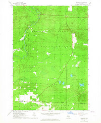
1963 · Eldorado
USGS Topo · 1:24,000
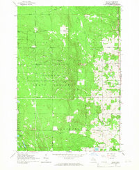
1965 · Damon
USGS Topo · 1:24,000
1965 · St. Helen NW
USGS Topo · 1:24,000
1965 · St. Helen NE
USGS Topo · 1:24,000
1965 · West Branch
USGS Topo · 1:24,000
1965 · St. Helen
USGS Topo · 1:24,000
1965 · Ogemaw Springs
USGS Topo · 1:24,000