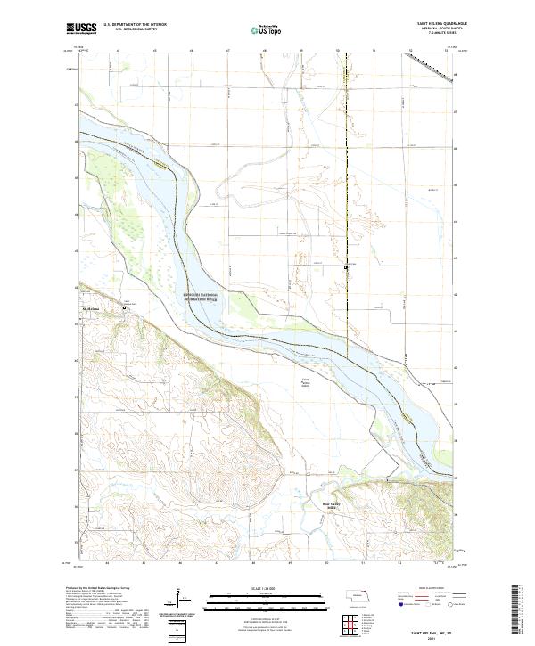
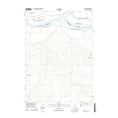
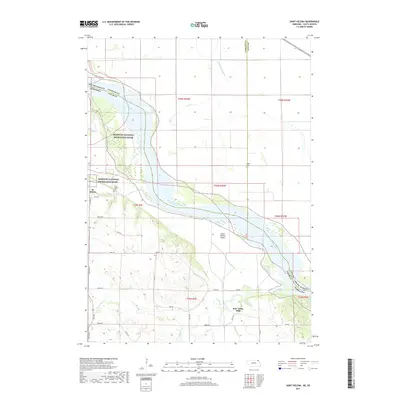
2021 Map of Saint Helena
USGS Topo · Published 2021About this map
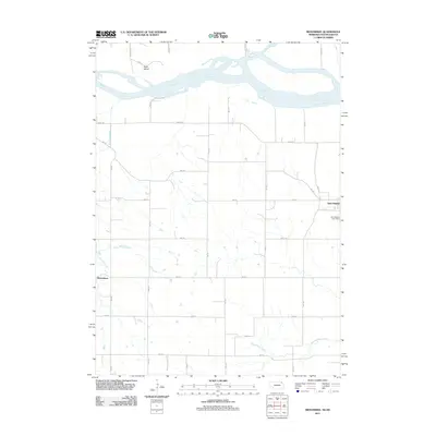
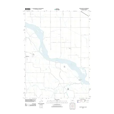
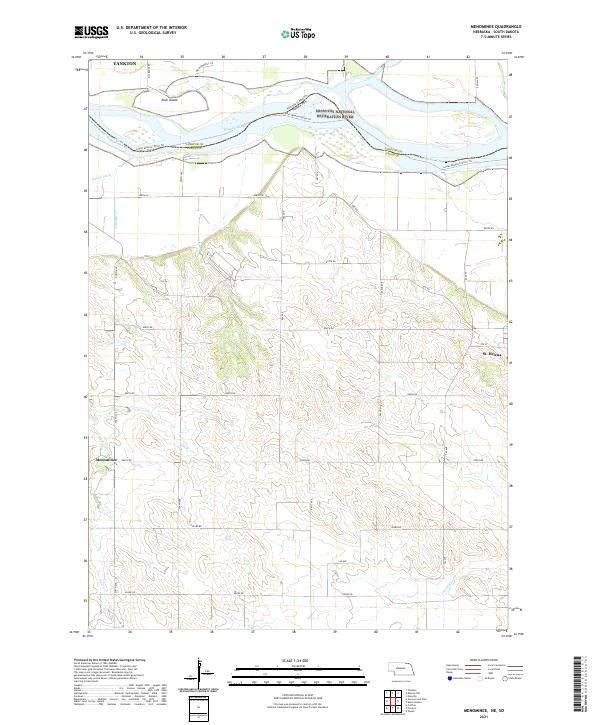
The Missouri National Recreation River defines this stretch of the Nebraska and South Dakota border, weaving through a complex landscape of shifting sandbars and riverine islands. On the Nebraska side, the village of St. Helena sits back from the bluffs, serving as a focal point for the surrounding agricultural community. The terrain transition is sharp here, moving from the flat alluvial bottomlands where the Lower Missouri River Trl follows the bank to the dissected uplands of Cedar County.
Find a feature on this map
53 named features on this map. Tap any name to fly to it.
Don’t see what you’re looking for? This feature index may not catch every label — zoom into the map to look around manually.
Map Details
Editions of this 2021 Saint Helena Map
This is the sole edition of this map. No revisions or reprints were ever made.
Historical Maps of Saint Helena Through Time
24 maps found
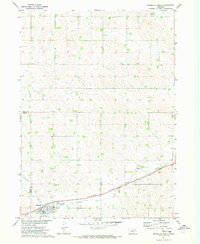
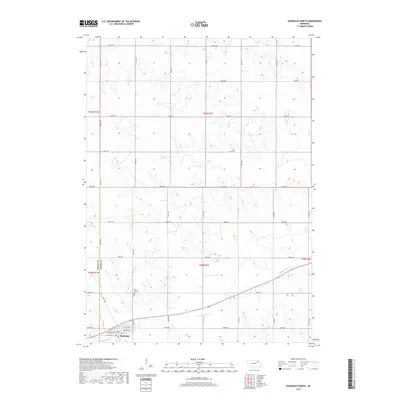
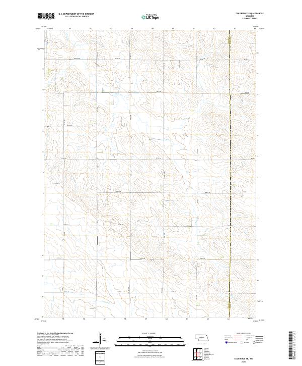
1968 Coleridge SE
Cedar County, NE
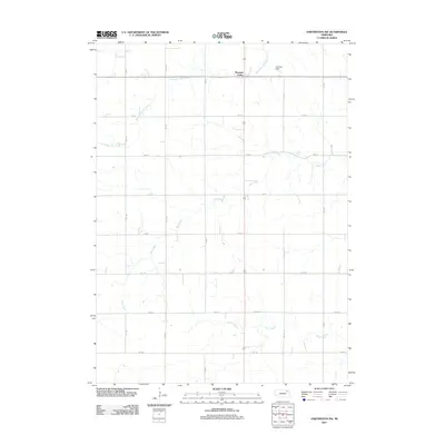
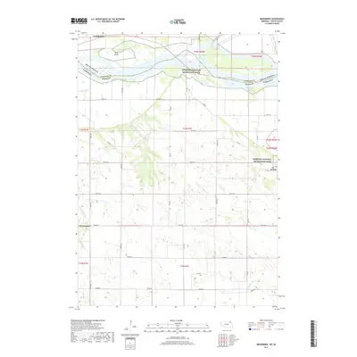
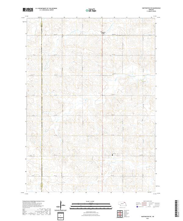
1968 Hartington SW
Cedar County, NE
1968 Menominee
Cedar County, NE
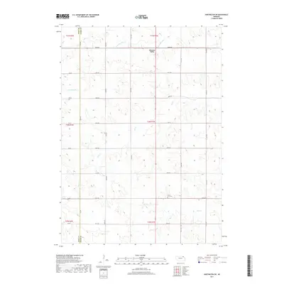
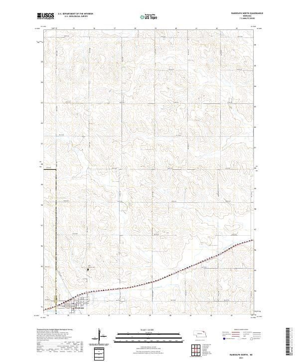
1971 Randolph North
Cedar County, NE
2011 Coleridge SE
Cedar County, NE
2011 Hartington SW
Cedar County, NE
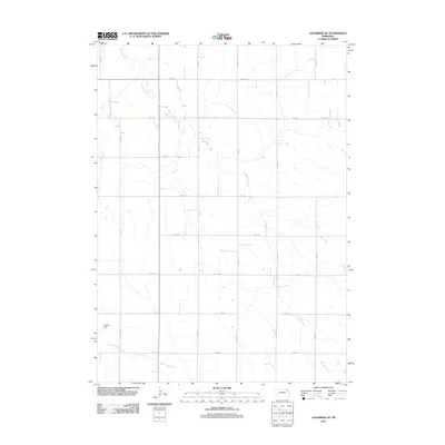
2011 Menominee
Cedar County, NE
2011 Randolph North
Cedar County, NE
2011 Saint Helena
Cedar County, NE
2014 Coleridge SE
Cedar County, NE
2014 Hartington SW
Cedar County, NE
2014 Menominee
Cedar County, NE
2014 Randolph North
Cedar County, NE
2014 Saint Helena
Cedar County, NE
2017 Coleridge SE
Cedar County, NE
2017 Hartington SW
Cedar County, NE
2017 Menominee
Cedar County, NE
2017 Randolph North
Cedar County, NE
2017 Saint Helena
Cedar County, NE
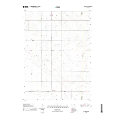
2021 Coleridge SE
Cedar County, NE
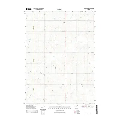
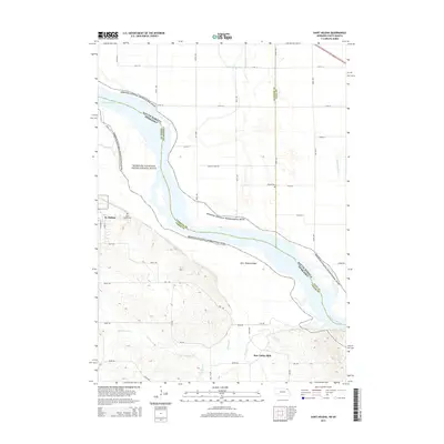
2021 Hartington SW
Cedar County, NE
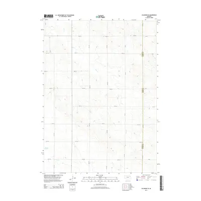
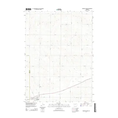
2021 Menominee
Cedar County, NE
2021 Randolph North
Cedar County, NE
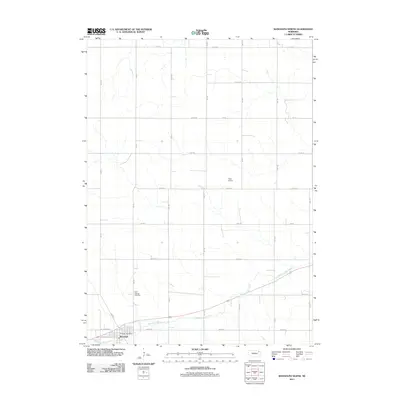
2021 Saint Helena
Cedar County, NE