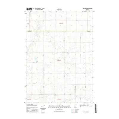
2016 Map of Saint James SE
USGS Topo · Published 2016About this map
Round Lake sits as a primary landmark in the western portion of this prairie landscape, where the border of Watonwan Co and Martin Co divides the agricultural grid. This survey reveals a terrain defined by a complex network of managed waterways, including Judicial Ditch Number Sixty and the meandering paths of Mink Cr and Willow Cr. These drainages reflect the intensive land use of the region, which supported local rural communities for generations. Genealogists and local historians will find the exact locations of the Waverly Lutheran Cem near the lake and the North Star Cem further south, providing fixed points for tracing family histories in this part of Southern Minnesota.
Find a feature on this map
35 named features on this map. Tap any name to fly to it.
Don’t see what you’re looking for? This feature index may not catch every label — zoom into the map to look around manually.
Map Details
Editions of this 2016 Saint James SE Map
This is the sole edition of this map. No revisions or reprints were ever made.
Other maps of this area

1954 · Fairmont
USGS Topo · 1:250,000

1958 · Fairmont
USGS Topo · 1:250,000

1967 · Truman
USGS Topo · 1:24,000

1967 · Lewisville
USGS Topo · 1:24,000

1967 · Fairmont
USGS Topo · 1:24,000

1970 · St James SE
USGS Topo · 1:24,000
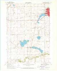
1970 · St James West
USGS Topo · 1:24,000

1970 · Trimont
USGS Topo · 1:24,000
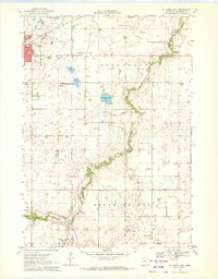
1970 · St James East
USGS Topo · 1:24,000

1970 · Welcome
USGS Topo · 1:24,000