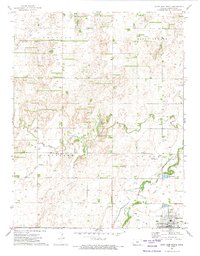
1972 Map of Saint John North
USGS Topo · Published 1974About this map
Saint John serves as the focal point of this 1970s topographical survey, anchoring the southeastern corner of the quadrangle where the town grid meets a landscape defined by water and energy. The region is marked by an extensive distribution of Oil Wells and pipelines, reflecting the mid-century petroleum industry's impact on the agricultural plains. Significant drainage features like Wild Horse Creek, Little Wild Horse Creek, and Rattlesnake Creek meander through the townships of Douglas, South Seward, and Cleveland, creating distinct patterns of low-lying terrain and intermittent wetlands.
Find a feature on this map
18 named features on this map. Tap any name to fly to it.
Don’t see what you’re looking for? This feature index may not catch every label — zoom into the map to look around manually.
Map Details
Editions of this 1972 Saint John North Map
This is the sole edition of this map. No revisions or reprints were ever made.
Other maps of this area

1891 · Great Bend
USGS Topo · 1:125,000

1892 · Pratt
USGS Topo · 1:125,000

1893 · Great Bend
USGS Topo · 1:125,000

1894 · Pratt
USGS Topo · 1:125,000

1955 · Great Bend
USGS Topo · 1:250,000

1955 · Pratt
USGS Topo · 1:250,000

1957 · Great Bend
USGS Topo · 1:250,000

1958 · Great Bend
USGS Topo · 1:250,000

1959 · Pratt
USGS Topo · 1:250,000
1969 · Radium
USGS Topo · 1:24,000