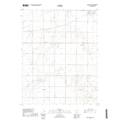
2018 Map of Saint John South
USGS Topo · Published 2018About this map
Rattlesnake Cr meanders across this Stafford County landscape, defining the hydrology of an area primarily structured by a precise section-line road grid. The southern outskirts of St. John occupy the northeastern corner of the map, where residential streets like S Main St and S Exchange St transition into the expansive agricultural township system. The terrain is notably influenced by several watercourses including Spring Cr and Bear Cr, which cut through the undulating plains. For those researching local family histories, the map identifies two significant burial sites: Martin Cem located near the center of the survey area and Neelands Cem further to the southwest. The presence of Eden Valley Rd and numerous numbered avenues highlights the established rural infrastructure that has supported the farming community for generations.
Find a feature on this map
38 named features on this map. Tap any name to fly to it.
Don’t see what you’re looking for? This feature index may not catch every label — zoom into the map to look around manually.
Map Details
Editions of this 2018 Saint John South Map
This is the sole edition of this map. No revisions or reprints were ever made.
Other maps of this area

1891 · Great Bend
USGS Topo · 1:125,000

1892 · Pratt
USGS Topo · 1:125,000

1893 · Great Bend
USGS Topo · 1:125,000

1894 · Pratt
USGS Topo · 1:125,000

1955 · Great Bend
USGS Topo · 1:250,000

1955 · Pratt
USGS Topo · 1:250,000

1957 · Great Bend
USGS Topo · 1:250,000

1958 · Great Bend
USGS Topo · 1:250,000

1959 · Pratt
USGS Topo · 1:250,000
1971 · Hudson
USGS Topo · 1:24,000