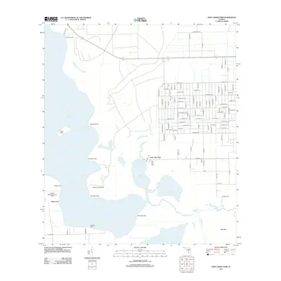
2012 Map of Saint Johns Park
USGS Topo · Published 2012About this map
Saint Johns Park sits at the nexus of a complex freshwater ecosystem where Bull Creek meets the northern reaches of Dead Lake. This 2012 survey reveals a transition between the dense residential grid of the park and the sprawling wetlands of Crescent Lake. The map details the intricate shoreline along Grimsley Neck and McReynolds Island, emphasizing the importance of water access for this community.
Find a feature on this map
109 named features on this map. Tap any name to fly to it.
Don’t see what you’re looking for? This feature index may not catch every label — zoom into the map to look around manually.
Map Details
Editions of this 2012 Saint Johns Park Map
This is the sole edition of this map. No revisions or reprints were ever made.
Other maps of this area

1912 · Palatka
USGS Topo · 1:48,000

1915 · Palatka
USGS Topo · 1:62,500

1937 · Dinner Island
USGS Topo · 1:48,000

1943 · Dinner Island
USGS Topo · 1:62,500

1944 · Dinner Island
USGS Topo · 1:62,500

1954 · Daytona Beach
USGS Topo · 1:250,000
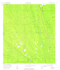
1957 · Espanola
USGS Topo · 1:24,000

1958 · Daytona Beach
USGS Topo · 1:250,000

1964 · Daytona Beach
USGS Topo · 1:250,000
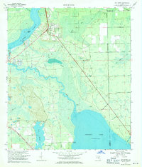
1968 · San Mateo
USGS Topo · 1:24,000