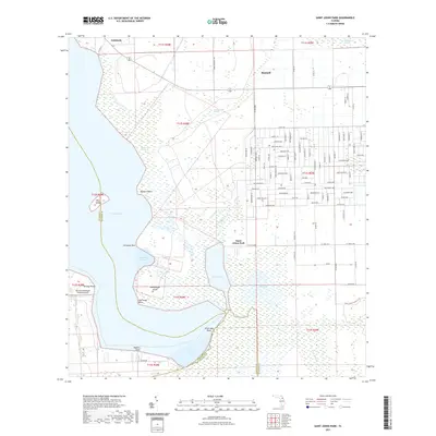
2021 Map of Saint Johns Park
USGS Topo · Published 2021About this map
Dead Lake and the winding course of Haw Creek dominate this 2021 landscape at the junction of Flagler, Putnam, and Volusia counties. The settlement of Saint Johns Park sits as a central focal point, surrounded by a complex network of wetlands including White Oak Swamp and Bull Cypress Swamp. To the west, the map details the shoreline of Crescent Lake, punctuated by distinctive landforms like Grimsley Neck and Buzzard Roost.
Find a feature on this map
108 named features on this map. Tap any name to fly to it.
Don’t see what you’re looking for? This feature index may not catch every label — zoom into the map to look around manually.
Map Details
Editions of this 2021 Saint Johns Park Map
This is the sole edition of this map. No revisions or reprints were ever made.
Other maps of this area

1912 · Palatka
USGS Topo · 1:48,000

1915 · Palatka
USGS Topo · 1:62,500

1937 · Dinner Island
USGS Topo · 1:48,000

1943 · Dinner Island
USGS Topo · 1:62,500

1944 · Dinner Island
USGS Topo · 1:62,500

1954 · Daytona Beach
USGS Topo · 1:250,000
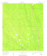
1957 · Espanola
USGS Topo · 1:24,000

1958 · Daytona Beach
USGS Topo · 1:250,000

1964 · Daytona Beach
USGS Topo · 1:250,000
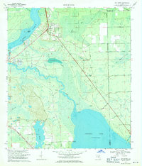
1968 · San Mateo
USGS Topo · 1:24,000