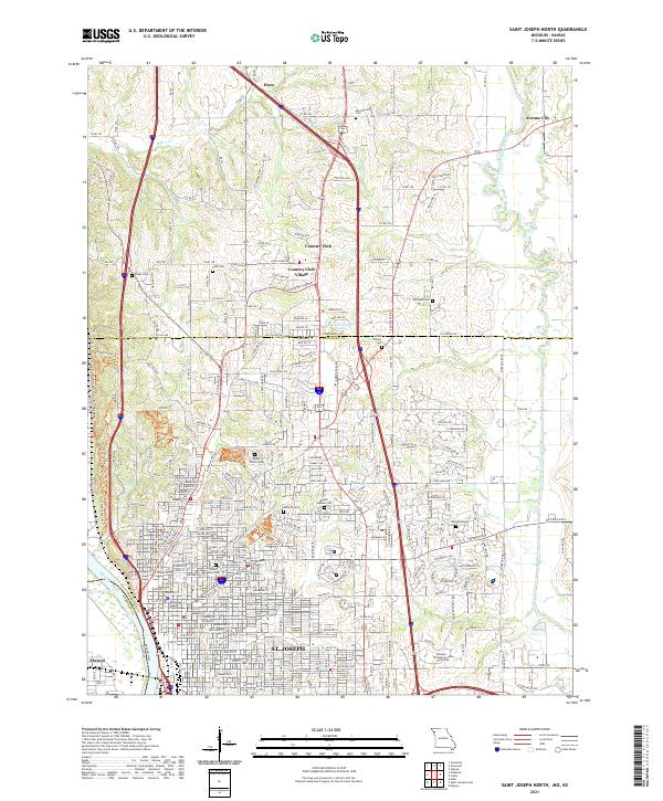
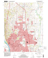
2021 Map of Saint Joseph North
USGS Topo · Published 2021About this map
The Missouri River flows along the western edge of St. Joseph, framing a landscape where urban development meets the rolling terrain of Northwest Missouri. The city’s historic core is anchored by the Buchanan County Courthouse and a dense grid of streets that give way to significant memorial sites, including the expansive Mount Mora Cem and Mount Olivet Cem. To the north, the transition from city to suburb is marked by Country Club Village and the Lakeland Estates Lake, while the eastern reaches are dominated by the campus of Missouri Western State University.
Find a feature on this map
272 named features on this map. Tap any name to fly to it.
Don’t see what you’re looking for? This feature index may not catch every label — zoom into the map to look around manually.
Map Details
Editions of this 2021 Saint Joseph North Map
This is the sole edition of this map. No revisions or reprints were ever made.
Historical Maps of Elwood Through Time
10 maps found
1961 Halls
Buchanan County, MO
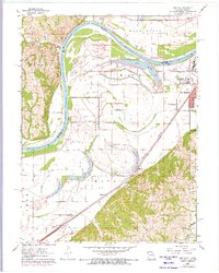
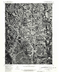
1971 St. Joseph North
Buchanan County, MO
1971 St. Joseph South
Buchanan County, MO
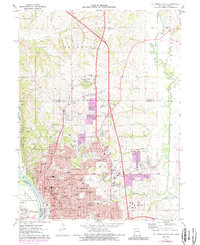
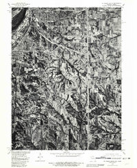
1980 St. Joseph North
Buchanan County, MO
1980 St. Joseph South
Buchanan County, MO
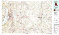
1986 Saint Joseph
Buchanan County, MO
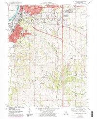
1997 St. Joseph North
Buchanan County, MO
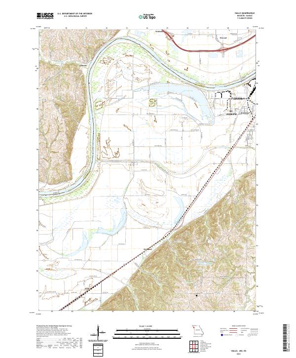
2021 Halls
Buchanan County, MO
2021 Saint Joseph North
Buchanan County, MO
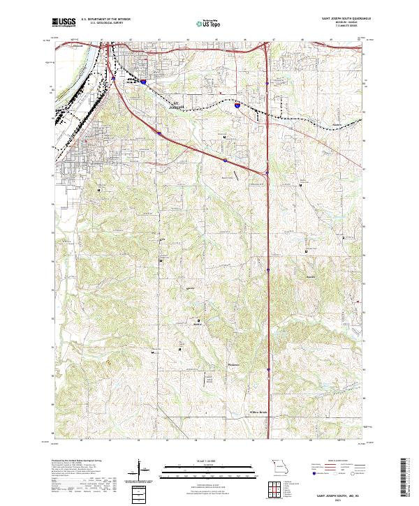
2021 Saint Joseph South
Buchanan County, MO