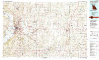
1986 Map of Saint Joseph
USGS Topo · Published 1990About this map
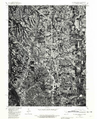
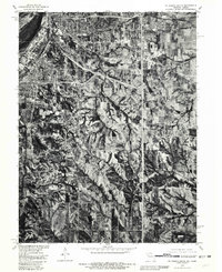
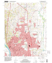
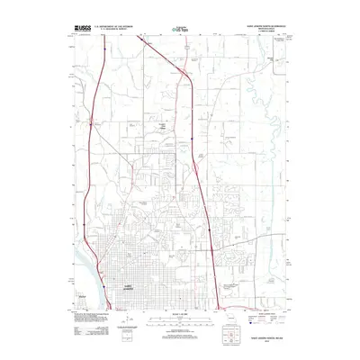
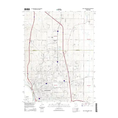
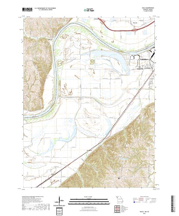
Saint Joseph serves as the focal point of this Northwest Missouri landscape, situated where the Missouri River bends sharply near French Bottom and Burr Oak Bottom. This mid-1980s data reveals a complex hydrologic system defined by the Platte River, One Hundred and Two River, and the Third Fork Platte River, alongside floodplain features like Lake Contrary and Muskrat Lake. Educational and civic infrastructure is represented by Missouri Western State College and Rosecrans Memorial Airport, while the rural surroundings are dotted with smaller communities such as Savannah, Maysville, and Cameron.
Find a feature on this map
155 named features on this map. Tap any name to fly to it.
Don’t see what you’re looking for? This feature index may not catch every label — zoom into the map to look around manually.
Map Details
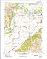
Editions of this 1986 Saint Joseph Map
2 editions found

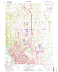
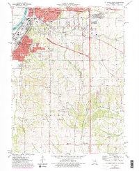
Historical Maps of Saint Joseph Through Time
22 maps found
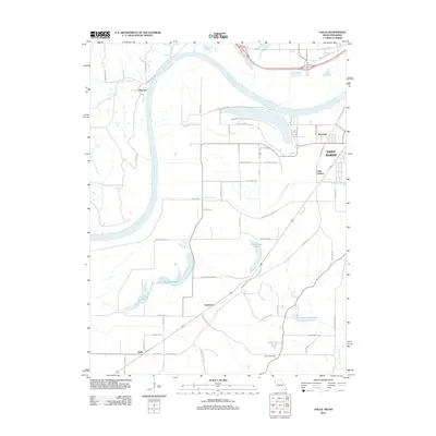
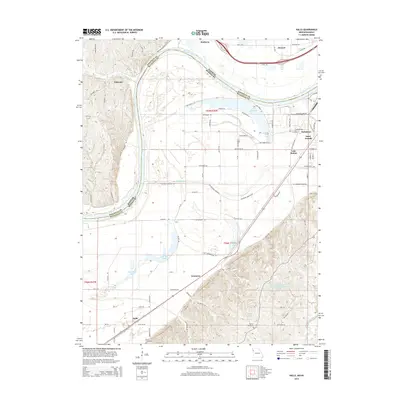
1961 Halls
Buchanan County, MO
1971 St. Joseph North
Buchanan County, MO
1971 St. Joseph South
Buchanan County, MO
1980 St. Joseph North
Buchanan County, MO
1980 St. Joseph South
Buchanan County, MO
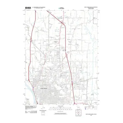
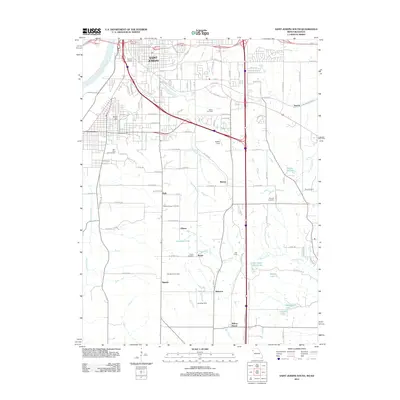
1986 Saint Joseph
Buchanan County, MO
1997 St. Joseph North
Buchanan County, MO
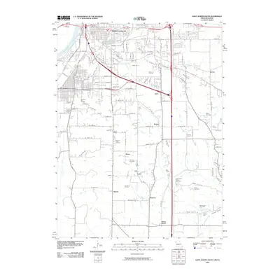
2009 Halls
Buchanan County, MO
2009 Saint Joseph North
Buchanan County, MO
2009 Saint Joseph South
Buchanan County, MO
2012 Halls
Buchanan County, MO
2012 Saint Joseph North
Buchanan County, MO
2012 Saint Joseph South
Buchanan County, MO
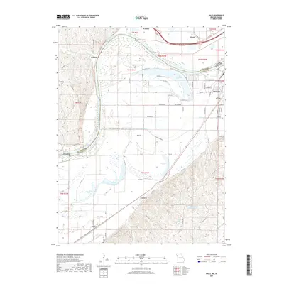
2014 Halls
Buchanan County, MO
2015 Saint Joseph North
Buchanan County, MO
2015 Saint Joseph South
Buchanan County, MO
2017 Halls
Buchanan County, MO
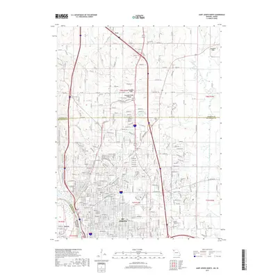
2017 Saint Joseph North
Buchanan County, MO
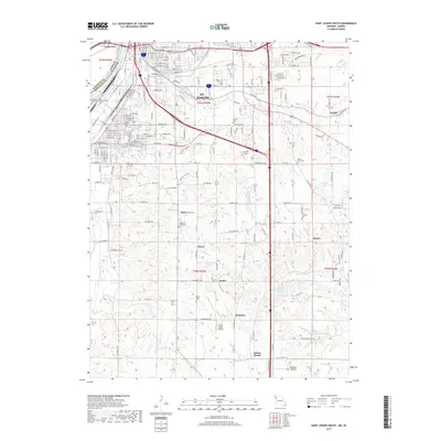
2017 Saint Joseph South
Buchanan County, MO
2021 Halls
Buchanan County, MO
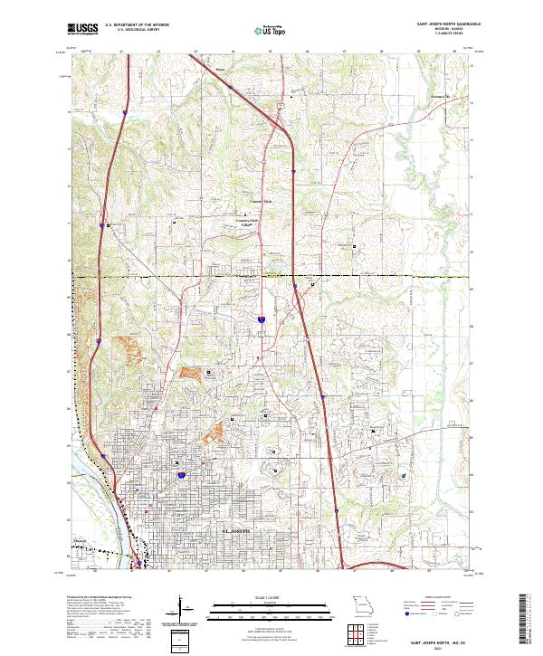
2021 Saint Joseph North
Buchanan County, MO
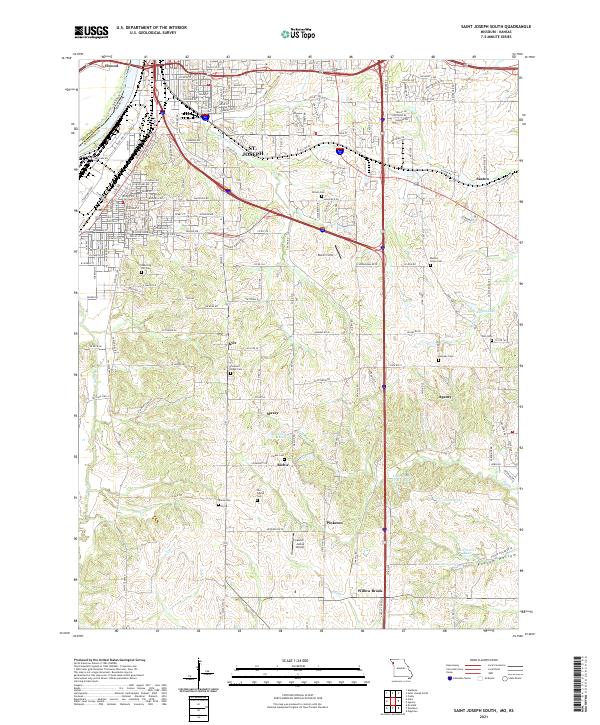
2021 Saint Joseph South
Buchanan County, MO