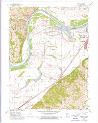
1961 Map of Halls
USGS Topo · Published 1973About this map
The Missouri River defines the western edge of this landscape, separating the bluffs of Marion in Kansas from the flat alluvial plains of Buchanan County, Missouri. In the early 1960s, the rural community of Halls served as a focal point for the surrounding farmland, supported by the Halls Sch and the nearby Kerlin Cem. The eastern portion of the map transitions into the outskirts of St Joseph, where mid-century development is evidenced by the Drive-in Theater and the Kirschner settlement.
Find a feature on this map
33 named features on this map. Tap any name to fly to it.
Don’t see what you’re looking for? This feature index may not catch every label — zoom into the map to look around manually.
Map Details
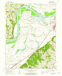
Editions of this 1961 Halls Map
2 editions found
Other maps of this area

1885 · Atchison
USGS Topo · 1:125,000

1888 · Atchison
USGS Topo · 1:125,000

1893 · Atchison
USGS Topo · 1:125,000

1924 · St. Joseph
USGS Topo · 1:62,500

1926 · Atchison
USGS Topo · 1:62,500

1926 · Saint Joseph
USGS Topo · 1:62,500

1926 · Oregon
USGS Topo · 1:62,500

1927 · Dearborn
USGS Topo · 1:62,500

1950 · Kansas City
USGS Topo · 1:250,000
1951 · De Kalb
USGS Topo · 1:24,000