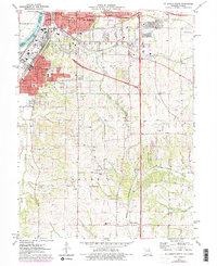
1971 Map of St. Joseph South
USGS Topo · Published 1978About this map
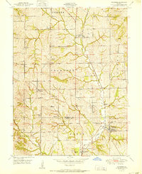
St Joseph anchors the northern edge of this Buchanan County landscape, where the Missouri River forms the natural boundary between Missouri and Kansas. The industrial character of the era is evident in the sprawling Stockyards and the intersection of major rail lines including the Burlington Northern and the Chicago Rock Island and Pacific. Just south of the city, Hyde Park and King Hill overlook the river valley, while the terrain transitions into the rolling hills of Center and Agency townships.
Find a feature on this map
56 named features on this map. Tap any name to fly to it.
Don’t see what you’re looking for? This feature index may not catch every label — zoom into the map to look around manually.
Map Details
Editions of this 1971 St. Joseph South Map
3 editions found
Other maps of this area

1923 · Clarksdale
USGS Topo · 1:62,500

1924 · St. Joseph
USGS Topo · 1:62,500

1925 · Gower
USGS Topo · 1:62,500

1925 · Clarksdale
USGS Topo · 1:62,500

1926 · Saint Joseph
USGS Topo · 1:62,500

1927 · Dearborn
USGS Topo · 1:62,500

1950 · Kansas City
USGS Topo · 1:250,000

1951 · Edgerton
USGS Topo · 1:24,000
1951 · De Kalb
USGS Topo · 1:24,000
1951 · Dearborn
USGS Topo · 1:24,000