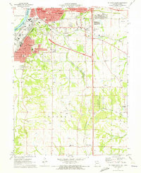
1971 Map of St. Joseph South
USGS Topo · Published 1973About this map
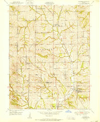
Industrial expansion and riverfront activity define the southern reaches of St Joseph during the early 1970s. The landscape transitions from the urban density of Hyde Park and the massive Stockyards along the Missouri River to the agricultural terrain of southern Buchanan Co. A dense network of transport infrastructure is evident, including the Burlington Northern and Chicago and North Western railroads which intersect the rolling topography.
Find a feature on this map
57 named features on this map. Tap any name to fly to it.
Don’t see what you’re looking for? This feature index may not catch every label — zoom into the map to look around manually.
Map Details
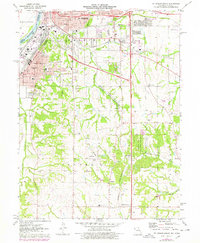
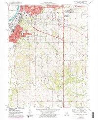
Editions of this 1971 St. Joseph South Map
3 editions found
Other maps of this area

1923 · Clarksdale
USGS Topo · 1:62,500

1924 · St. Joseph
USGS Topo · 1:62,500

1925 · Gower
USGS Topo · 1:62,500

1925 · Clarksdale
USGS Topo · 1:62,500

1926 · Saint Joseph
USGS Topo · 1:62,500

1927 · Dearborn
USGS Topo · 1:62,500

1950 · Kansas City
USGS Topo · 1:250,000

1951 · Edgerton
USGS Topo · 1:24,000
1951 · De Kalb
USGS Topo · 1:24,000
1951 · Dearborn
USGS Topo · 1:24,000