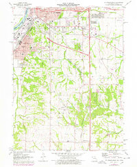
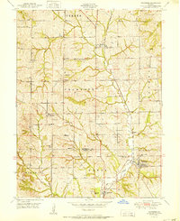
1971 Map of St. Joseph South
USGS Topo · Published 1978About this map
The industrial and agricultural landscape of southern St Joseph is defined by a dense network of railroads and local institutions during the early 1970s. The Burlington Northern and Chicago Rock Island and Pacific RR cut through the terrain, supporting the massive Stockyards near the Missouri River. To the south, the community character shifts toward rural life, marked by numerous small schoolhouses like Hosea Sch and Mid-Buchanan Sch, alongside historic burial grounds such as Old Sparta Cem and Odd Fellows Cem.
Find a feature on this map
66 named features on this map. Tap any name to fly to it.
Don’t see what you’re looking for? This feature index may not catch every label — zoom into the map to look around manually.
Map Details
Editions of this 1971 St. Joseph South Map
3 editions found
Other maps of this area

1923 · Clarksdale
USGS Topo · 1:62,500

1924 · St. Joseph
USGS Topo · 1:62,500

1925 · Gower
USGS Topo · 1:62,500

1925 · Clarksdale
USGS Topo · 1:62,500

1926 · Saint Joseph
USGS Topo · 1:62,500

1927 · Dearborn
USGS Topo · 1:62,500

1950 · Kansas City
USGS Topo · 1:250,000

1951 · Edgerton
USGS Topo · 1:24,000
1951 · De Kalb
USGS Topo · 1:24,000
1951 · Dearborn
USGS Topo · 1:24,000