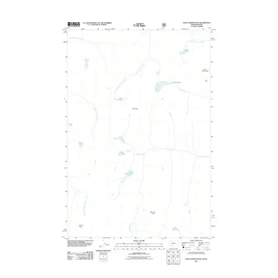
2011 Map of Saint Joseph Peak
USGS Topo · Published 2011About this map
Saint Joseph Peak and Bass Peak anchor this high-altitude landscape in western Montana, where the terrain is defined by a dense network of alpine lakes and headwater streams. Small mountain lakes like Moose Lake, Grimes Lake, and Storm Lake sit at the source of several drainages, feeding into South Fork Spruce Creek and South Fork Lolo Creek. The presence of the Cliff Mine on the eastern slopes of the main peak suggests the area's history of mineral prospecting, while the Bass Lake Dam on Bass Creek indicates early water management efforts in these high basins.
Find a feature on this map
23 named features on this map. Tap any name to fly to it.
Don’t see what you’re looking for? This feature index may not catch every label — zoom into the map to look around manually.
Map Details
Editions of this 2011 Saint Joseph Peak Map
This is the sole edition of this map. No revisions or reprints were ever made.
Other maps of this area

1901 · Hamilton
USGS Topo · 1:125,000

1912 · Missoula
USGS Topo · 1:125,000

1956 · Hamilton
USGS Topo · 1:250,000

1959 · Hamilton
USGS Topo · 1:250,000

1960 · Hamilton
USGS Topo · 1:250,000

1964 · Hamilton
USGS Topo · 1:250,000

1964 · Dick Creek
USGS Topo · 1:24,000

1964 · West Fork Butte
USGS Topo · 1:24,000

1964 · St. Joseph Peak
USGS Topo · 1:24,000
1964 · Ranger Peak
USGS Topo · 1:24,000