
1964 Map of St. Joseph Peak
USGS Topo · Published 1967About this map
Saint Joseph Peak and the high ridges of the Bitterroot Range define this mid-1960s survey along the divide between Montana and Idaho. The landscape is dominated by the Selway-Bitterroot Wilderness, where steep drainages like Kootenai Creek and Bass Creek flow eastward toward the valley. High-altitude glacial features are prominent, including Bass Lake, the Middle Fork Lakes, and the distinctive Heavenly Twins peaks.
Find a feature on this map
37 named features on this map. Tap any name to fly to it.
Don’t see what you’re looking for? This feature index may not catch every label — zoom into the map to look around manually.
Map Details
Editions of this 1964 St. Joseph Peak Map
This is the sole edition of this map. No revisions or reprints were ever made.
Other maps of this area

1901 · Hamilton
USGS Topo · 1:125,000

1912 · Missoula
USGS Topo · 1:125,000

1956 · Hamilton
USGS Topo · 1:250,000

1959 · Hamilton
USGS Topo · 1:250,000

1960 · Hamilton
USGS Topo · 1:250,000

1964 · Hamilton
USGS Topo · 1:250,000

1964 · Dick Creek
USGS Topo · 1:24,000

1964 · West Fork Butte
USGS Topo · 1:24,000
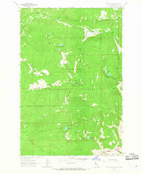
1964 · Ranger Peak
USGS Topo · 1:24,000
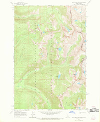
1966 · White Sand Lake
USGS Topo · 1:24,000