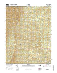
2016 Map of Saint Joy
USGS Topo · Published 2016About this map
Saint Joy serves as the primary focal point of this rural Buckingham County landscape, situated amidst a network of creeks and ridges. The topography is defined by the drainage of the N River and its numerous tributaries, including Brick Kiln Br, Grease Cr, and Austin Cr. These watercourses carve through the terrain, influencing the historic road patterns that follow the contours of the land. Small water bodies like Ragland Lake and Goodloe Lake dot the countryside, while the Saint Joy Cem remains a significant marker for local genealogical research. The road names themselves hint at the area's social and industrial history, with routes such as Woodland Church Rd, Warminster Church Rd, and Texas School Rd pointing toward former community hubs. The landscape remains largely rural, dominated by small streams like Mallorys Cr and Sawmill Cr that once supported local enterprise.
Find a feature on this map
44 named features on this map. Tap any name to fly to it.
Don’t see what you’re looking for? This feature index may not catch every label — zoom into the map to look around manually.
Map Details
Editions of this 2016 Saint Joy Map
This is the sole edition of this map. No revisions or reprints were ever made.
Other maps of this area

1892 · Buckingham
USGS Topo · 1:125,000

1892 · Appomattox
USGS Topo · 1:125,000

1947 · Roanoke
USGS Topo · 1:250,000

1958 · Appomattox
USGS Topo · 1:62,500

1958 · Pamplin City
USGS Topo · 1:62,500

1959 · Roanoke
USGS Topo · 1:250,000

1961 · Shipman
USGS Topo · 1:62,500

1961 · Buckingham
USGS Topo · 1:62,500

1963 · Roanoke
USGS Topo · 1:250,000

1967 · Andersonville
USGS Topo · 1:24,000