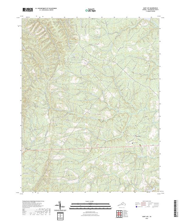
2022 Map of Saint Joy
USGS Topo · Published 2022About this map
Saint Joy serves as the primary focal point of this Buckingham County landscape, situated where Greenway Rd and Briar Hook Rd meet. The local geography is defined by a dense network of creek drainages including Walton Fork, Sycamore Creek, and Meadow Creek, which navigate the elevation changes near Spears Mountain. Road names provide significant insight into the area's rural social history, with routes such as Texas School Rd, Warminster Church Rd, and Shelton Store Rd indicating the locations of former community centers and commerce.
Find a feature on this map
45 named features on this map. Tap any name to fly to it.
Don’t see what you’re looking for? This feature index may not catch every label — zoom into the map to look around manually.
Map Details
Editions of this 2022 Saint Joy Map
This is the sole edition of this map. No revisions or reprints were ever made.
Other maps of this area

1892 · Buckingham
USGS Topo · 1:125,000

1892 · Appomattox
USGS Topo · 1:125,000

1947 · Roanoke
USGS Topo · 1:250,000

1958 · Appomattox
USGS Topo · 1:62,500

1958 · Pamplin City
USGS Topo · 1:62,500

1959 · Roanoke
USGS Topo · 1:250,000

1961 · Shipman
USGS Topo · 1:62,500

1961 · Buckingham
USGS Topo · 1:62,500

1963 · Roanoke
USGS Topo · 1:250,000

1967 · Andersonville
USGS Topo · 1:24,000