Loading...
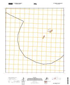
Loading map...2020 Map of Saint Lawrence A-0 NW
USGS Topo · Published 2020About this map
The Punuk Islands form a small, isolated chain within the vast Bering Sea, situated off the eastern end of Saint Lawrence Island. This 2020 topographic study, based on data from the U.S. Geological Survey, meticulously details the three distinct landmasses: North Punuk Island, Middle Punuk Island, and South Punuk Island. These rocky outcrops are notable for their maritime significance and their placement within the Public Land Survey System grids of t27s r53w and t28s r53w.
Find a feature on this map
8 named features on this map. Tap any name to fly to it.
Don’t see what you’re looking for? This feature index may not catch every label — zoom into the map to look around manually.
Map Details
Date Portrayed2020
Date Published2020
PublisherU.S. Geological Survey
Map TypeTopographic
Scale1:25,000
Physical Dimensions24 x 29 inches
Editions of this 2020 Saint Lawrence A-0 NW Map
This is the sole edition of this map. No revisions or reprints were ever made.
Other maps of this area



Featured Places
Source Details
SourceU.S. Geological Survey
CopyrightPublic Domain