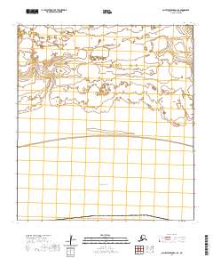
2020 Map of Saint Lawrence B-1 SE
USGS Topo · Published 2020About this map
The Bering Sea coastline dominates this 2020 coastal survey of Saint Lawrence Island. This part of the island exhibits a complex network of coastal lagoons, wetlands, and tundra drainages, organized under the Public Land Survey System grids of T26s R55w and T27s R55w. The landscape is primarily composed of low-elevation terrain with intricate shoreline features where land and sea converge. Though devoid of named settlements, the map provides a precise look at the township and range boundaries including T26s R56w, T26s R54w, and T27s R54w, which are essential for identifying specific tracts of land on this remote island in the Nome Census Area.
Find a feature on this map
6 named features on this map. Tap any name to fly to it.
Don’t see what you’re looking for? This feature index may not catch every label — zoom into the map to look around manually.
Map Details
Editions of this 2020 Saint Lawrence B-1 SE Map
This is the sole edition of this map. No revisions or reprints were ever made.
Other maps of this area

1948 · St Lawrence
USGS Topo · 1:250,000

1949 · St Lawrence
USGS Topo · 1:250,000

1964 · St Lawrence
USGS Topo · 1:250,000
2020 · Saint Lawrence A-0 NW
USGS Topo · 1:25,000
2020 · Saint Lawrence B-0 SW
USGS Topo · 1:25,000
2020 · Saint Lawrence B-1 SW
USGS Topo · 1:25,000
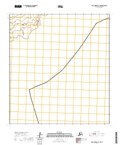
2020 · Saint Lawrence A-1 NW
USGS Topo · 1:25,000
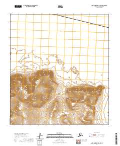
2020 · Saint Lawrence B-0 NW
USGS Topo · 1:25,000
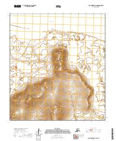
2020 · Saint Lawrence B-1 NW
USGS Topo · 1:25,000
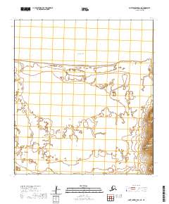
2020 · Saint Lawrence B-1 NE
USGS Topo · 1:25,000