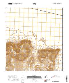
2020 Map of Saint Lawrence B-0 NW
USGS Topo · Published 2020About this map
Saint Lawrence Island is characterized by its dramatic volcanic and maritime topography along the southern coastline of this remote landmass in the Bering Sea. The landscape is dominated by two significant peaks, Kangukhsam Mtn and Seevookhan Mtn, which rise sharply from the surrounding coastal plains. These mountains are part of a larger complex of volcanic features that define the southern interior of the island. The coastline itself is marked by distinctive geological formations including Kitnagak Point and Seevoo Point, which frame the waters of Kitnagak Bay. The elevation data captured by the U.S. Geological Survey reveals a system of drainage and ridges that illustrate the island's unique position at the intersection of Arctic and sub-Arctic maritime environments.
Find a feature on this map
11 named features on this map. Tap any name to fly to it.
Don’t see what you’re looking for? This feature index may not catch every label — zoom into the map to look around manually.
Map Details
Editions of this 2020 Saint Lawrence B-0 NW Map
This is the sole edition of this map. No revisions or reprints were ever made.
Other maps of this area

1948 · St Lawrence
USGS Topo · 1:250,000

1949 · St Lawrence
USGS Topo · 1:250,000

1964 · St Lawrence
USGS Topo · 1:250,000
2020 · Saint Lawrence B-0 NE
USGS Topo · 1:25,000
2020 · Saint Lawrence B-1 SE
USGS Topo · 1:25,000
2020 · Saint Lawrence B-0 SW
USGS Topo · 1:25,000
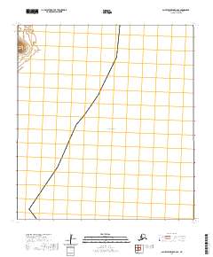
2020 · Saint Lawrence B-0 SE
USGS Topo · 1:25,000
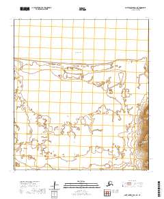
2020 · Saint Lawrence B-1 NE
USGS Topo · 1:25,000