2020 Map of Saint Lawrence B-0 NE
USGS Topo · Published 2020About this map
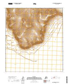
Northeast Cape and the surrounding coastline of Saint Lawrence Island are defined here by the meeting of terrestrial landforms and the open waters of the Bering Sea. This coastal region, surveyed in 2020, reveals a landscape where topographic elevation is concentrated at the cape itself, which serves as a prominent landmark for navigation and local geography. Extending southward from the cape, the shoreline leads toward Eayagit Point, illustrating the natural transition between the island's rocky periphery and the sea. The map also delineates the formal land divisions of t25s r53w and t26s r53w, which provide a structural framework over this maritime environment. This survey captures the island's edge in a period of modern geospatial monitoring, focusing on the distinct coastal features that characterize the northeastern extremity of the island.
Find a feature on this map
5 named features on this map. Tap any name to fly to it.
Don’t see what you’re looking for? This feature index may not catch every label — zoom into the map to look around manually.
Map Details
Editions of this 2020 Saint Lawrence B-0 NE Map
This is the sole edition of this map. No revisions or reprints were ever made.