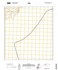
2020 Map of Saint Lawrence A-1 NW
USGS Topo · Published 2020About this map
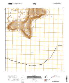
Saint Lawrence Island is the primary terrestrial focus of this 2020 topographic study, situated where the northern shoreline meets the expanse of the Bering Sea. This specific quadrangle documents the northwestern corner of the A-1 section, detailing a coastal transition characterized by the inlet of Tapaghtalghee Bay. The terrain is defined by the Public Land Survey System grids of t27s r57w and t28s r57w, which provide a formal structure for tracking land tenure and geographic locations in this maritime environment. Historically significant for its position between continents, the map focuses on the physical geography of the island's edge before it drops into the sea.
Find a feature on this map
6 named features on this map. Tap any name to fly to it.
Don’t see what you’re looking for? This feature index may not catch every label — zoom into the map to look around manually.
Map Details
Editions of this 2020 Saint Lawrence A-1 NW Map
This is the sole edition of this map. No revisions or reprints were ever made.
Other maps of this area

1948 · St Lawrence
USGS Topo · 1:250,000

1949 · St Lawrence
USGS Topo · 1:250,000

1964 · St Lawrence
USGS Topo · 1:250,000
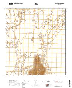
2020 · Saint Lawrence A-2 NE
USGS Topo · 1:25,000
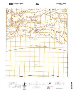
2020 · Saint Lawrence B-1 SE
USGS Topo · 1:25,000
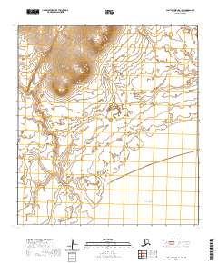
2020 · Saint Lawrence B-1 SW
USGS Topo · 1:25,000
2020 · Saint Lawrence A-2 SE
USGS Topo · 1:25,000
2020 · Saint Lawrence B-2 SE
USGS Topo · 1:25,000