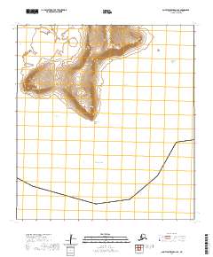
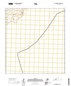
2020 Map of Saint Lawrence A-2 SE
USGS Topo · Published 2020About this map
Southeast Cape marks the southern reach of this coastal landscape on Saint Lawrence Island, where the land meets the Bering Sea. The topography is defined by the sharp elevations of the Kialegak Mountains and isolated peaks like Seevoonah Mtn and Emghem Mtn. These features suggest a high-relief island interior that drops steeply toward the coast at Kialegak Point. The shoreline is carved by significant inlets, including Tasighoovik Bay and Pingootikook Bay, which offer natural breaks in the rocky maritime perimeter. This 2020 survey reflects a strictly natural environment, where the absence of roads or permanent settlements emphasizes the island's isolation and the dominance of its geographic landforms over human development.
Find a feature on this map
11 named features on this map. Tap any name to fly to it.
Don’t see what you’re looking for? This feature index may not catch every label — zoom into the map to look around manually.
Map Details
Editions of this 2020 Saint Lawrence A-2 SE Map
This is the sole edition of this map. No revisions or reprints were ever made.
Other maps of this area

1948 · St Lawrence
USGS Topo · 1:250,000

1949 · St Lawrence
USGS Topo · 1:250,000

1964 · St Lawrence
USGS Topo · 1:250,000
2020 · Saint Lawrence A-2 NE
USGS Topo · 1:25,000
2020 · Saint Lawrence A-2 NW
USGS Topo · 1:25,000
2020 · Saint Lawrence A-2 SW
USGS Topo · 1:25,000
2020 · Saint Lawrence A-1 NW
USGS Topo · 1:25,000