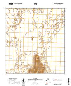
2020 Map of Saint Lawrence A-2 NE
USGS Topo · Published 2020About this map
Saint Lawrence Island is characterized by its isolation within the Bering Sea, where the landscape is defined by coastal features and stark volcanic elevations. Two prominent heights, Oolamushak Hill and Oolahpuk Mtn, dominate the central and southern portions of this terrain, providing significant vertical relief against the surrounding lowlands. Along the eastern shoreline, Kooku Beach stretches toward the waters of Tapaghtalghee Bay, marking a transition from the island's interior to the sea. This topographic study, produced by the U.S. Geological Survey, utilizes data from the National Elevation Dataset and the GNIS to document this remote portion of the Nome Census Area. The lack of developed infrastructure or roads emphasizes the subsistence and natural character of the island at this stage of the twenty-first century.
Find a feature on this map
12 named features on this map. Tap any name to fly to it.
Don’t see what you’re looking for? This feature index may not catch every label — zoom into the map to look around manually.
Map Details
Editions of this 2020 Saint Lawrence A-2 NE Map
This is the sole edition of this map. No revisions or reprints were ever made.
Other maps of this area

1948 · St Lawrence
USGS Topo · 1:250,000

1949 · St Lawrence
USGS Topo · 1:250,000

1964 · St Lawrence
USGS Topo · 1:250,000
2020 · Saint Lawrence B-1 SW
USGS Topo · 1:25,000
2020 · Saint Lawrence A-2 NW
USGS Topo · 1:25,000
2020 · Saint Lawrence A-2 SW
USGS Topo · 1:25,000
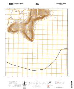
2020 · Saint Lawrence A-2 SE
USGS Topo · 1:25,000
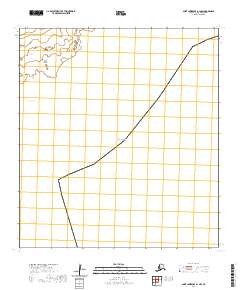
2020 · Saint Lawrence A-1 NW
USGS Topo · 1:25,000
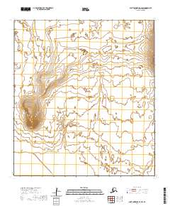
2020 · Saint Lawrence B-2 SW
USGS Topo · 1:25,000
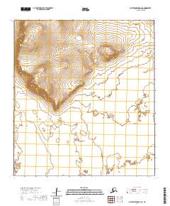
2020 · Saint Lawrence B-2 SE
USGS Topo · 1:25,000