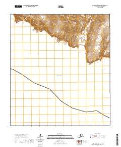
2020 Map of Saint Lawrence B-6 NE
USGS Topo · Published 2020About this map
Saint Lawrence Island meets the Bering Sea along this section of the remote Alaskan coastline, where steep topography transitions sharply into marine waters. The southern shore is defined by a series of prominent headlands and inlets, including Bunnell Cape to the west and the distinct projections of Evghinak Point and Taveeluk Point. Inland, the terrain is marked by significant elevation changes, most notably the deep corridor of Keelaghnik Valley, which carves through the upland ridges. Several coastal indentations such as Siteeluk Bay, Boxer Bay, and Murphy Bay provide geographic context to the island's jagged perimeter. This 2020 USGS survey documents the land-sea interface of this Bering Sea outpost at a 1:25,000 scale, capturing the precise contouring of the coastal bluffs and the maritime boundaries surrounding Iwoonut Point.
Find a feature on this map
14 named features on this map. Tap any name to fly to it.
Don’t see what you’re looking for? This feature index may not catch every label — zoom into the map to look around manually.
Map Details
Editions of this 2020 Saint Lawrence B-6 NE Map
This is the sole edition of this map. No revisions or reprints were ever made.
Other maps of this area

1948 · St Lawrence
USGS Topo · 1:250,000

1949 · St Lawrence
USGS Topo · 1:250,000

1964 · St Lawrence
USGS Topo · 1:250,000
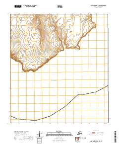
2020 · Saint Lawrence B-5 NW
USGS Topo · 1:25,000
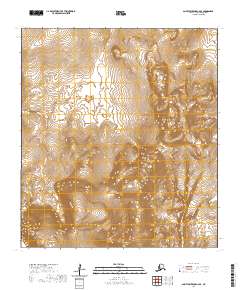
2020 · Saint Lawrence C-6 SE
USGS Topo · 1:25,000
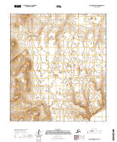
2020 · Saint Lawrence C-5 SW
USGS Topo · 1:25,000
2020 · Saint Lawrence C-6 SW
USGS Topo · 1:25,000
2020 · Saint Lawrence B-6 NW
USGS Topo · 1:25,000