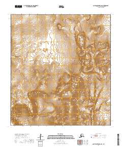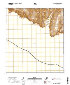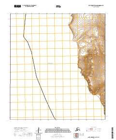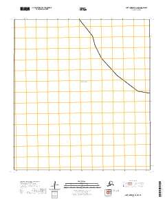
2020 Map of Saint Lawrence B-6 NW
USGS Topo · Published 2020About this map
Bering Sea waters dominate this coastal portion of Saint Lawrence Island, reflecting the stark maritime environment of the Nome Census Area. The map depicts a precise section of the Alaskan coastline where the land primarily consists of surveyed townships and ranges, specifically marking the boundaries of t24s r68w. As a modern topographic record, the sheet focuses on the intersection of the marine environment and the terrestrial Public Land Survey System. The absence of traditional named settlements or terrestrial infrastructure underscores the remote character of this specific shoreline, where the primary geographic identifiers are the open sea and the cadastral grid sections such as 30, 29, and 34.
Find a feature on this map
10 named features on this map. Tap any name to fly to it.
Don’t see what you’re looking for? This feature index may not catch every label — zoom into the map to look around manually.
Map Details
Editions of this 2020 Saint Lawrence B-6 NW Map
This is the sole edition of this map. No revisions or reprints were ever made.