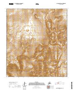
2020 Map of Saint Lawrence C-6 SE
USGS Topo · Published 2020About this map
The Poovoot Range dominates this isolated landscape on Saint Lawrence Island, where the interior terrain rises sharply toward Poovookpuk Mtn. This 2020 survey documents a region defined by its dramatic relief and natural drainage patterns, notably where the Kongkok Basin meets the western edge of the highlands. To the south, the profile of Ivekan Mtn stands as a prominent landmark above the surrounding flats, while the Keelaghnuk Valley cuts through the southern reaches of the quadrangle. The map is a study in undisturbed Alaskan island topography, showing the intricate contouring of the uplands before they descend toward the coastal lowlands beyond these boundaries.
Find a feature on this map
9 named features on this map. Tap any name to fly to it.
Don’t see what you’re looking for? This feature index may not catch every label — zoom into the map to look around manually.
Map Details
Editions of this 2020 Saint Lawrence C-6 SE Map
This is the sole edition of this map. No revisions or reprints were ever made.
Other maps of this area

1948 · St Lawrence
USGS Topo · 1:250,000

1949 · St Lawrence
USGS Topo · 1:250,000

1964 · St Lawrence
USGS Topo · 1:250,000
2020 · Saint Lawrence B-5 NW
USGS Topo · 1:25,000
2020 · Saint Lawrence C-5 NW
USGS Topo · 1:25,000
2020 · Saint Lawrence C-6 NE
USGS Topo · 1:25,000
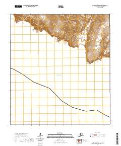
2020 · Saint Lawrence B-6 NE
USGS Topo · 1:25,000
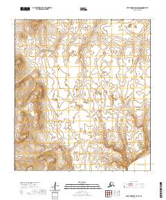
2020 · Saint Lawrence C-5 SW
USGS Topo · 1:25,000
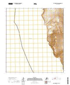
2020 · Saint Lawrence C-6 SW
USGS Topo · 1:25,000
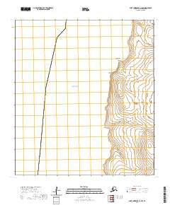
2020 · Saint Lawrence C-6 NW
USGS Topo · 1:25,000