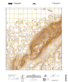
2020 Map of Saint Lawrence C-5 NW
USGS Topo · Published 2020About this map
Taphook Mtn and the neighboring Olngooseenuk Mtn dominate the coastal topography of Saint Lawrence Island in this 2020 survey. The landscape is defined by its shoreline along the Bering Sea, featuring distinctive coastal landforms such as Pungokosit Spit and the sharp reach of Taphook Point. These features reflect a remote environment where the terrain rises steeply from Makingiyeek Bay to heights like Yaghmelngak Mtn.
Find a feature on this map
17 named features on this map. Tap any name to fly to it.
Don’t see what you’re looking for? This feature index may not catch every label — zoom into the map to look around manually.
Map Details
Editions of this 2020 Saint Lawrence C-5 NW Map
This is the sole edition of this map. No revisions or reprints were ever made.
Other maps of this area

1948 · St Lawrence
USGS Topo · 1:250,000

1949 · St Lawrence
USGS Topo · 1:250,000

1964 · St Lawrence
USGS Topo · 1:250,000

2020 · Saint Lawrence D-5 SW
USGS Topo · 1:25,000
2020 · Saint Lawrence C-5 SE
USGS Topo · 1:25,000
2020 · Saint Lawrence C-6 NE
USGS Topo · 1:25,000
2020 · Saint Lawrence C-6 SE
USGS Topo · 1:25,000
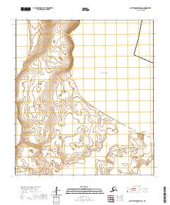
2020 · Saint Lawrence D-6 SE
USGS Topo · 1:25,000
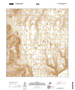
2020 · Saint Lawrence C-5 SW
USGS Topo · 1:25,000
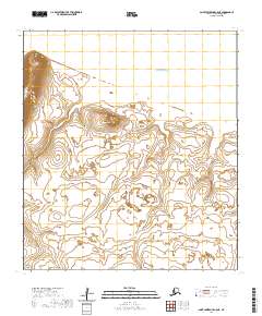
2020 · Saint Lawrence C-5 NE
USGS Topo · 1:25,000